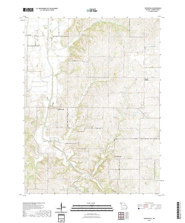
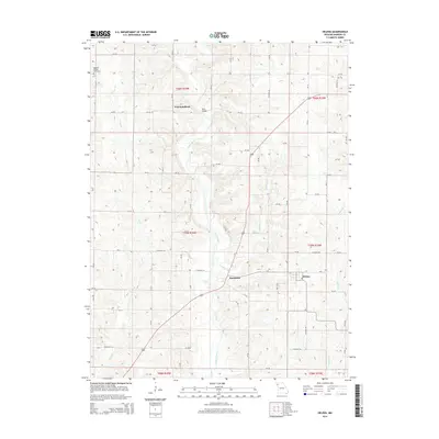
2021 Map of Whitesville
USGS Topo · Published 2021About this map
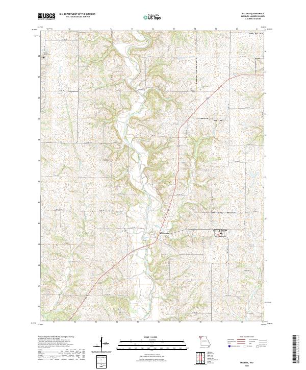
Whitesville and the surrounding rural landscape of Andrew County are defined by a complex network of waterways that drain toward the Platte River. This 2021 survey reveals a landscape largely shaped by agricultural sections and creek beds, with small unincorporated communities like Empire Prairie and Flag Springs anchoring the local geography. The winding paths of Hickory Cr and Crooked Cr carve through the terrain, illustrating the persistent natural drainage patterns that have influenced land use and road placement for generations.
Find a feature on this map
55 named features on this map. Tap any name to fly to it.
Don’t see what you’re looking for? This feature index may not catch every label — zoom into the map to look around manually.
Map Details
Editions of this 2021 Whitesville Map
This is the sole edition of this map. No revisions or reprints were ever made.
Historical Maps of Empire Prairie Through Time
10 maps found
1983 Helena
Andrew County, MO

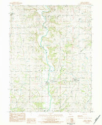
1984 Whitesville
Andrew County, MO
2011 Whitesville
Andrew County, MO
2012 Helena
Andrew County, MO
2014 Helena
Andrew County, MO
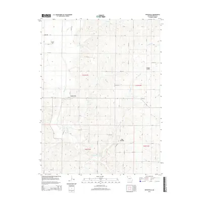
2014 Whitesville
Andrew County, MO
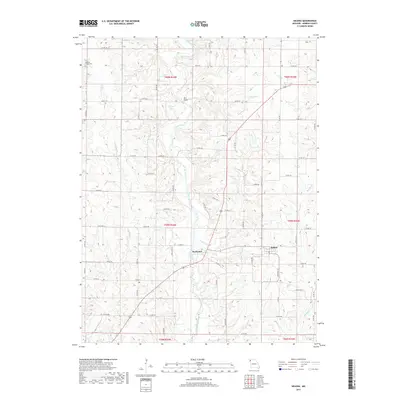
2017 Helena
Andrew County, MO
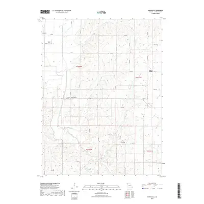
2017 Whitesville
Andrew County, MO
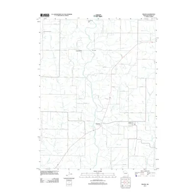
2021 Helena
Andrew County, MO
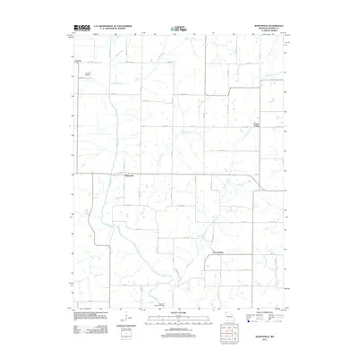
2021 Whitesville
Andrew County, MO