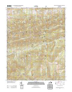
2013 Map of Whitetop Mountain
USGS Topo · Published 2013About this map
Mount Rogers and Whitetop Mountain dominate this high-elevation corridor in the early 21st century, marking the convergence of prominent ridges and deep gaps. The landscape is defined by its recreation-heavy infrastructure, featuring the Mount Rogers Trail Head, Grindstone Campground, and specialized sites like the Fox Creek Horse Camp. Historically small settlements and named locations such as Dry Fork, Stony Battery, and Elk Garden are connected by a network of winding roads including Konnarock Rd and Laurel Valley Rd.
Find a feature on this map
116 named features on this map. Tap any name to fly to it.
Don’t see what you’re looking for? This feature index may not catch every label — zoom into the map to look around manually.
Map Details
Editions of this 2013 Whitetop Mountain Map
This is the sole edition of this map. No revisions or reprints were ever made.
Other maps of this area

1889 · Wytheville
USGS Topo · 1:125,000

1891 · Abingdon
USGS Topo · 1:125,000

1892 · Wytheville
USGS Topo · 1:125,000

1894 · Abingdon
USGS Topo · 1:125,000

1909 · Abingdon
USGS Topo · 1:96,000

1911 · Abingdon
USGS Topo · 1:125,000

1931 · Rural Retreat
USGS Topo · 1:48,000

1935 · Konnarock
USGS Topo · 1:24,000

1935 · Chilhowie
USGS Topo · 1:24,000

1935 · Mouth of Wilson
USGS Topo · 1:48,000