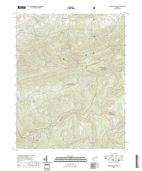
2022 Map of Whitetop Mountain
USGS Topo · Published 2022About this map
Stony Battery and the high ridges of the Jefferson National Forest dominate this portrait of Southwest Virginia. The landscape is defined by the Tennessee Valley Divide, where waters split toward different drainage basins. A dense network of paths, including the Appalachian National Scenic Trl, Iron Mountain Trl, and Virginia Highlands Trl, crisscrosses the high elevations of Mt Rogers and Pine Mtn. Local history is anchored by several rural burial sites such as Rowland Creek Cem, West Cem, and Laurel Cem, located near the headwaters of Rowland Cr and Big Laurel Cr. The terrain reveals complex mountain geography, from the passage at Skulls Gap to the winding course of the Fairwood Valley Rd, illustrating the intersection of modern recreational corridors with older settlement patterns in the Highlands.
Find a feature on this map
127 named features on this map. Tap any name to fly to it.
Don’t see what you’re looking for? This feature index may not catch every label — zoom into the map to look around manually.
Map Details
Editions of this 2022 Whitetop Mountain Map
This is the sole edition of this map. No revisions or reprints were ever made.
Other maps of this area

1889 · Wytheville
USGS Topo · 1:125,000

1891 · Abingdon
USGS Topo · 1:125,000

1892 · Wytheville
USGS Topo · 1:125,000

1894 · Abingdon
USGS Topo · 1:125,000

1909 · Abingdon
USGS Topo · 1:96,000

1911 · Abingdon
USGS Topo · 1:125,000

1931 · Rural Retreat
USGS Topo · 1:48,000

1935 · Konnarock
USGS Topo · 1:24,000

1935 · Chilhowie
USGS Topo · 1:24,000

1935 · Mouth of Wilson
USGS Topo · 1:48,000