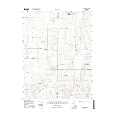
2016 Map of Whitewater
USGS Topo · Published 2016About this map
Hoosier Hill, the highest natural point in Indiana, sits in the northwest corner of this borderland survey. Straddling the state line between Indiana and Ohio, the area is defined by its agricultural character and the complex drainage of the Middle Fork East Fork Whitewater River. Small settlements and rural junctions like Whitewater and Middleboro are connected by a network of historic roads, including Arba Pike and the Hollansburg Rd.
Find a feature on this map
83 named features on this map. Tap any name to fly to it.
Don’t see what you’re looking for? This feature index may not catch every label — zoom into the map to look around manually.
Map Details
Editions of this 2016 Whitewater Map
This is the sole edition of this map. No revisions or reprints were ever made.
Other maps of this area

1915 · New Paris
USGS Topo · 1:48,000

1916 · Winchester
USGS Topo · 1:48,000

1918 · Winchester
USGS Topo · 1:62,500

1918 · New Paris
USGS Topo · 1:62,500

1943 · Winchester
USGS Topo · 1:62,500

1953 · Cincinnati
USGS Topo · 1:250,000

1953 · Muncie
USGS Topo · 1:250,000

1956 · Muncie
USGS Topo · 1:250,000

1957 · Cincinnati
USGS Topo · 1:250,000

1960 · New Madison
USGS Topo · 1:24,000