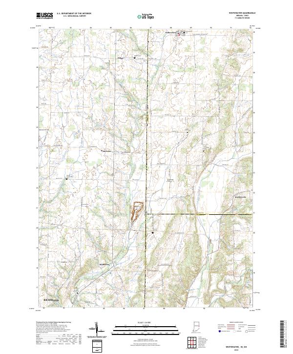
2022 Map of Whitewater
USGS Topo · Published 2022About this map
The Middle Fork East Fork Whitewater River carves through the undulating borderland of Wayne County, Indiana, and Darke County, Ohio. This rural landscape is defined by its small crossroads settlements and a dense network of country roads including the Fountain City Pike and Richmond-Palestine Rd. The settlement of Whitewater serves as a central point in an area where agricultural land is occasionally broken by natural features like the Sunbeam Prairie and numerous small watercourses such as Vernon Brook and Clay Run. Genealogy researchers will find several family-named landmarks and local burial grounds, such as Mount Vernon Cem, Cedar Grove Cem, and Bethel Cem. To the south, the map captures the northern outskirts of Richmond, where the terrain transitions toward the confluence of the Middle Brook and the Middle Fork East Fork Whitewater River.
Find a feature on this map
107 named features on this map. Tap any name to fly to it.
Don’t see what you’re looking for? This feature index may not catch every label — zoom into the map to look around manually.
Map Details
Editions of this 2022 Whitewater Map
This is the sole edition of this map. No revisions or reprints were ever made.
Other maps of this area

1915 · New Paris
USGS Topo · 1:48,000

1916 · Winchester
USGS Topo · 1:48,000

1918 · Winchester
USGS Topo · 1:62,500

1918 · New Paris
USGS Topo · 1:62,500

1943 · Winchester
USGS Topo · 1:62,500

1953 · Cincinnati
USGS Topo · 1:250,000

1953 · Muncie
USGS Topo · 1:250,000

1956 · Muncie
USGS Topo · 1:250,000

1957 · Cincinnati
USGS Topo · 1:250,000

1960 · New Madison
USGS Topo · 1:24,000