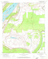
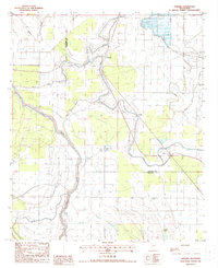
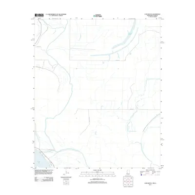
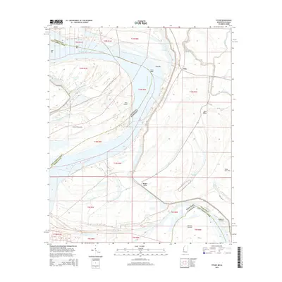
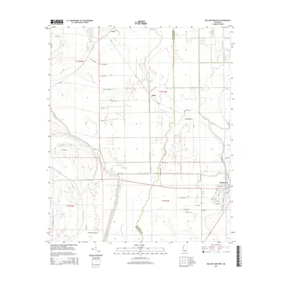
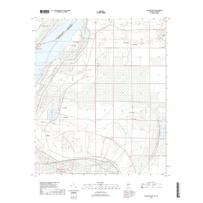
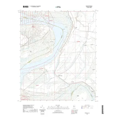
1970 Map of Whiting Bayou
USGS Topo · Published 1972About this map
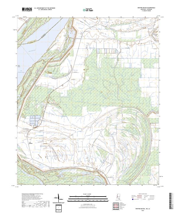
Mississippi River oxbows and bottomlands dominate this 1970 landscape, where the shifting border between East Carroll Parish and Issaquena County follows an old river channel. The settlement of Tallula sits protected behind a massive Levee system that snakes across the southern portion of the sheet. Rural life is anchored by several local congregations, including Mt Sinai Ch, St Peters Ch, and Woodland Ch. The presence of an Old Railroad Grade and the Tallula Farms Landing Strip indicates a transition in local transportation and agricultural logistics. Notable water bodies like Bear Lake, Goose Lake, and Moon Lake fill the interior bends, while specialized land use is evident at the Fish Farm and the Tank Farm near the northern boundary. The intricate drainage network of Whiting Bayou and Steele Bayou defines the remaining wooded wetlands.
Find a feature on this map
26 named features on this map. Tap any name to fly to it.
Don’t see what you’re looking for? This feature index may not catch every label — zoom into the map to look around manually.
Map Details
Editions of this 1970 Whiting Bayou Map
This is the sole edition of this map. No revisions or reprints were ever made.
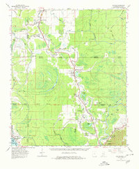
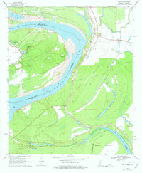
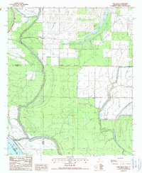
Historical Maps of Elleslie Through Time
33 maps found
1963 Onward
Issaquena County, MS
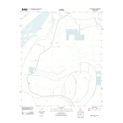
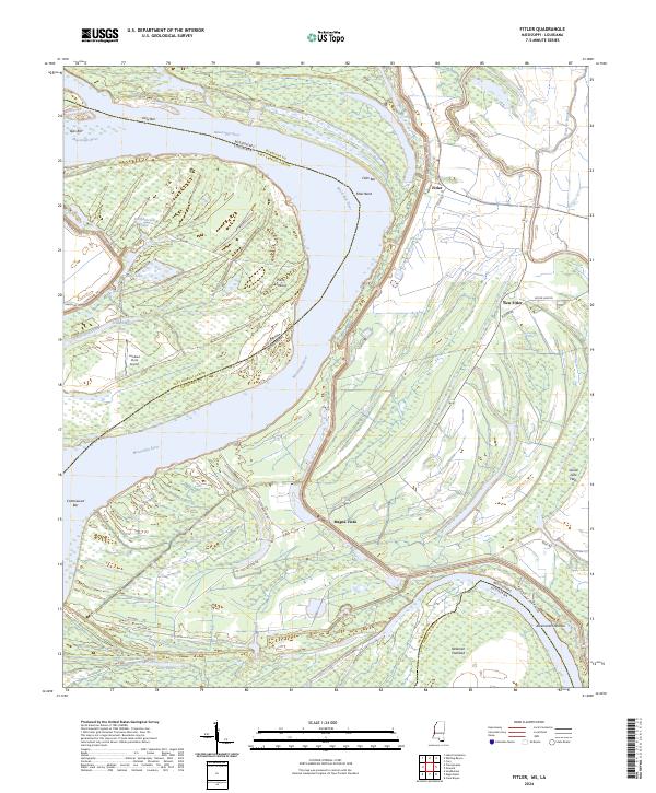
1970 Fitler
Issaquena County, MS
1970 Whiting Bayou
Issaquena County, MS
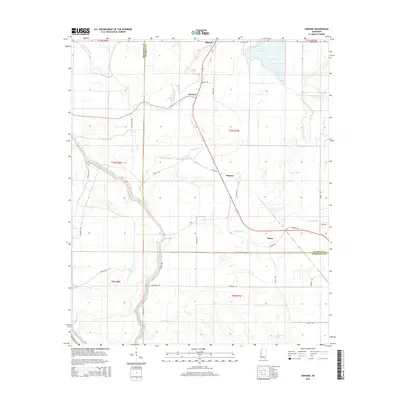
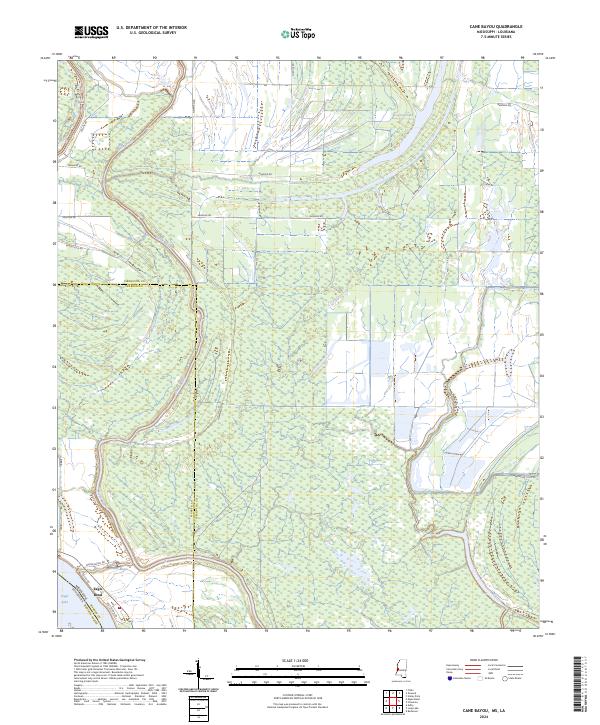
1988 Cane Bayou
Issaquena County, MS
1988 Onward
Issaquena County, MS
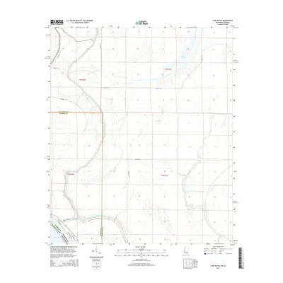
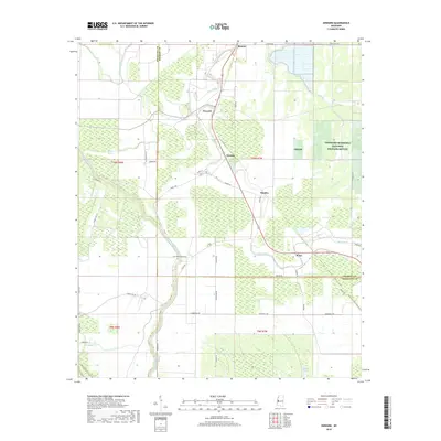
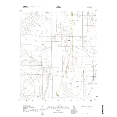
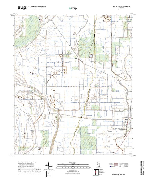
1988 Rolling Fork West
Issaquena County, MS
1994 Fitler
Issaquena County, MS
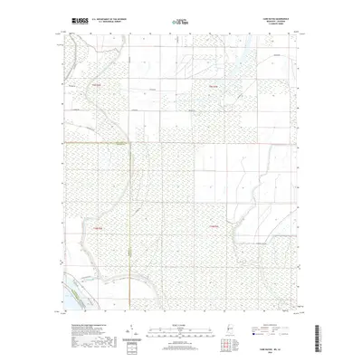
1994 Whiting Bayou
Issaquena County, MS
2012 Cane Bayou
Issaquena County, MS
2012 Fitler
Issaquena County, MS
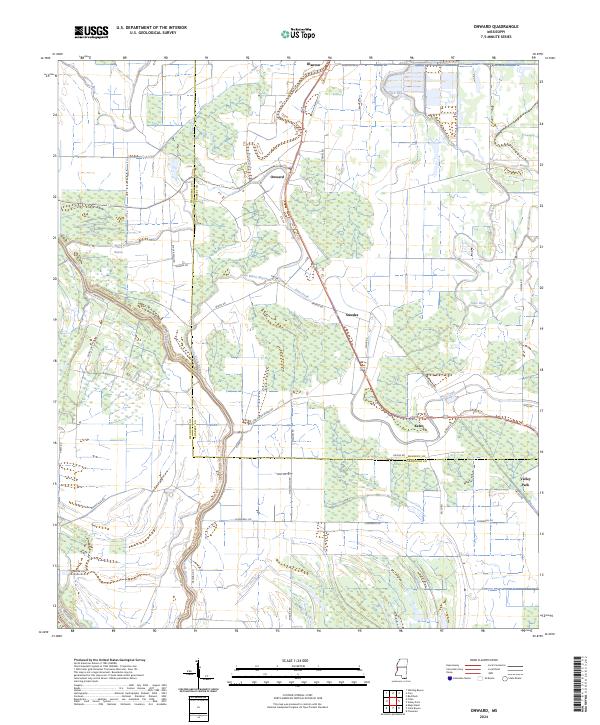
2012 Onward
Issaquena County, MS
2012 Rolling Fork West
Issaquena County, MS
2012 Whiting Bayou
Issaquena County, MS
2015 Cane Bayou
Issaquena County, MS
2015 Fitler
Issaquena County, MS
2015 Onward
Issaquena County, MS
2015 Rolling Fork West
Issaquena County, MS
2015 Whiting Bayou
Issaquena County, MS
2018 Cane Bayou
Issaquena County, MS
2018 Fitler
Issaquena County, MS
2018 Onward
Issaquena County, MS
2018 Rolling Fork West
Issaquena County, MS
2018 Whiting Bayou
Issaquena County, MS
2020 Cane Bayou
Issaquena County, MS
2020 Fitler
Issaquena County, MS
2020 Onward
Issaquena County, MS
2020 Rolling Fork West
Issaquena County, MS
2020 Whiting Bayou
Issaquena County, MS
2024 Cane Bayou
Issaquena County, MS
2024 Fitler
Issaquena County, MS
2024 Onward
Issaquena County, MS
2024 Rolling Fork West
Issaquena County, MS
2024 Whiting Bayou
Issaquena County, MS