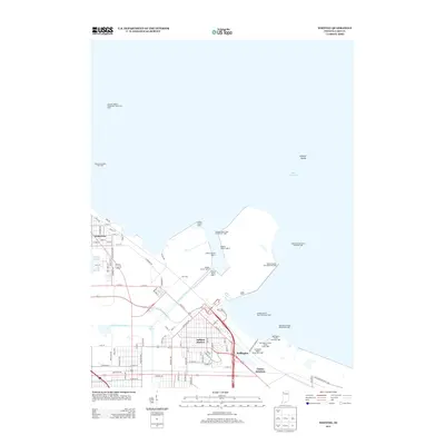
2013 Map of Whiting
USGS Topo · Published 2013About this map
Whiting and the industrial waterfront of Indiana Harbor dominate this Lake County shoreline during the early twenty-first century. The landscape is defined by the heavy infrastructure of the Indiana Harbor Canal and the Acc Road Railroad Yard, illustrating the enduring role of the region as a primary transit and manufacturing hub. Shipping navigation is managed by an extensive network of beacons, including the Indiana Harbor Light 2, Indiana Harbor East Breakwater Light, and the Buffington Harbor Pierhead Light.
Find a feature on this map
89 named features on this map. Tap any name to fly to it.
Don’t see what you’re looking for? This feature index may not catch every label — zoom into the map to look around manually.
Map Details
Editions of this 2013 Whiting Map
This is the sole edition of this map. No revisions or reprints were ever made.
Other maps of this area

1889 · Chicago
USGS Topo · 1:62,500

1891 · Chicago
USGS Topo · 1:62,500

1892 · Calumet
USGS Topo · 1:62,500

1893 · Calumet
USGS Topo · 1:62,500

1900 · Chicago
USGS Topo · 1:62,500

1900 · Toleston
USGS Topo · 1:62,500

1900 · Calumet
USGS Topo · 1:62,500

1901 · Calumet
USGS Topo · 1:62,500

1901 · Chicago
USGS Topo · 1:62,500

1929 · Calumet Lake
USGS Topo · 1:24,000