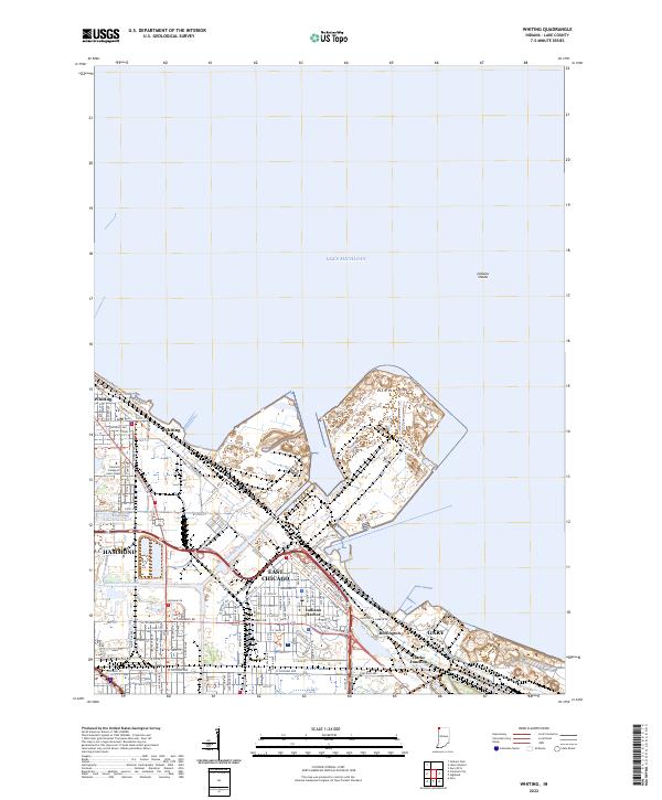
2022 Map of Whiting
USGS Topo · Published 2022About this map
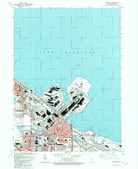
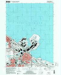
Lake Michigan dominates the northern horizon of this industrial corridor where the lakefront is shaped by the Indiana Harbor Canal and complex shoreline infrastructure. The cityscape is a dense grid of settlements, including Whiting, East Chicago, and portions of Hammond and Gary, reflecting the region’s deep ties to heavy industry and lake-borne commerce. The Lake George Canal further illustrates the engineered nature of the landscape, providing essential waterways for the local manufacturing hubs.
Find a feature on this map
57 named features on this map. Tap any name to fly to it.
Don’t see what you’re looking for? This feature index may not catch every label — zoom into the map to look around manually.
Map Details
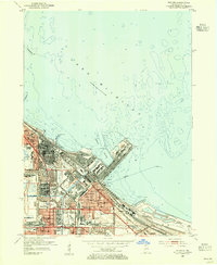
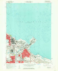
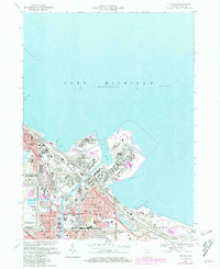
Editions of this 2022 Whiting Map
This is the sole edition of this map. No revisions or reprints were ever made.
Historical Maps of Pine Through Time
6 maps found
Featured Locations
- Calumet Township, IN
- East Chicago, North Township
- Hammond, North Township
- Whiting, North Township
- Gary, Calumet Township