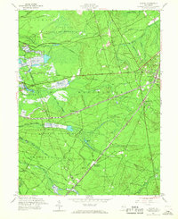
1957 Map of Whiting
USGS Topo · Published 1968About this map
Whiting serves as a critical rail junction in the mid-1950s, where the Pennsylvania and New Jersey Central Railroad lines intersect. This central New Jersey landscape is characterized by the expansive Fort Dix Military Reservation to the north and the Lebanon State Forest across the south. The area’s unique Pine Barrens ecology is evident through numerous specialized agricultural features like Cranberry Bogs and a complex drainage system including North Branch Mount Misery Bk and Hurricane Brook. Small settlements such as Roosevelt City and Wheatland (Pasadena) are tucked between these vast managed lands. The map also records early local infrastructure, including the Manchester Sch and the solitary Tower near the reservation boundary, providing a clear view of the region's mid-century rural and military character.
Find a feature on this map
40 named features on this map. Tap any name to fly to it.
Don’t see what you’re looking for? This feature index may not catch every label — zoom into the map to look around manually.
Map Details
Editions of this 1957 Whiting Map
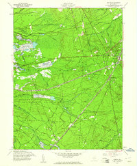
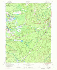
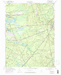
4 editions found
Other maps of this area

1884 · Whitings
USGS Topo · 1:62,500

1888 · Bordentown
USGS Topo · 1:62,500

1888 · Pemberton
USGS Topo · 1:62,500

1888 · Cassville
USGS Topo · 1:62,500

1888 · Whitings
USGS Topo · 1:62,500

1893 · Bordentown
USGS Topo · 1:62,500

1894 · Cassville
USGS Topo · 1:62,500

1894 · Pemberton
USGS Topo · 1:62,500

1898 · Pemberton
USGS Topo · 1:62,500

1900 · Cassville
USGS Topo · 1:62,500
Featured Places
- Jackson Township, NJ
- Manchester Township, NJ
- Lacey Township, NJ
- Plumsted Township, NJ
- Cedar Glen Lakes, Manchester Township