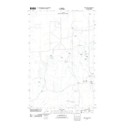
2011 Map of Whitlash
USGS Topo · Published 2011About this map
The Canada United States of America border defines the northern edge of this Liberty County landscape, where the settlement of Whitlash serves as a remote hub for the surrounding ranching community. The map illustrates a semi-arid geography marked by numerous coulees, such as Kent Coulee and Sears Coulee, and a complex water management system featuring many small impoundments like Italian Stallion Dam, Two Turtle Dam, and Multiplier Dam. These structures support local agricultural operations including the Demarest Ranch and Parsell Ranch.
Find a feature on this map
39 named features on this map. Tap any name to fly to it.
Don’t see what you’re looking for? This feature index may not catch every label — zoom into the map to look around manually.
Map Details
Editions of this 2011 Whitlash Map
This is the sole edition of this map. No revisions or reprints were ever made.
Other maps of this area

1954 · Shelby
USGS Topo · 1:250,000

1958 · Shelby
USGS Topo · 1:250,000

1962 · Whitlash
USGS Topo · 1:24,000

1962 · Cameron Lake
USGS Topo · 1:24,000

1962 · Fey Lakes
USGS Topo · 1:24,000
1962 · Hawley Hill
USGS Topo · 1:24,000

1962 · Haystack Butte
USGS Topo · 1:24,000

1962 · Grassy Butte
USGS Topo · 1:24,000

1984 · Sweet Grass Hills
USGS Topo · 1:100,000
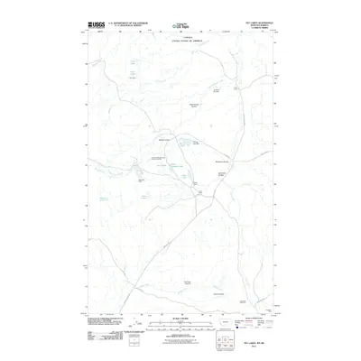
2011 · Fey Lakes
USGS Topo · 1:24,000