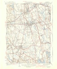
1941 Map of Whitman
USGS Topo · Published 1941About this map
The industrial and agricultural corridors of Plymouth County are captured here just before the mid-century, defined by the extensive operations of the New York New Haven and Hartford RR. This rail network serves as the spine for several clustered settlements, including Whitman, Abington, and East Bridgewater. The landscape is a complex drainage basin where the Shumatuscacant River and Satucket River wind through significant wetlands like the Great Cedar Swamp and Beech Hill Swamp.
Find a feature on this map
80 named features on this map. Tap any name to fly to it.
Don’t see what you’re looking for? This feature index may not catch every label — zoom into the map to look around manually.
Map Details
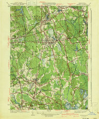
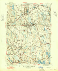
Editions of this 1941 Whitman Map
3 editions found
Other maps of this area

1885 · Abington
USGS Topo · 1:62,500

1885 · Middleboro
USGS Topo · 1:62,500

1885 · Taunton
USGS Topo · 1:62,500

1886 · Dedham
USGS Topo · 1:62,500

1888 · Taunton
USGS Topo · 1:62,500

1888 · Middleboro
USGS Topo · 1:62,500

1888 · Abington
USGS Topo · 1:62,500

1893 · Abington
USGS Topo · 1:62,500

1893 · Taunton
USGS Topo · 1:62,500

1893 · Middleboro
USGS Topo · 1:62,500