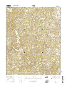
2016 Map of Whitmell
USGS Topo · Published 2016About this map
The Sandy River and its numerous tributaries, including the W Fork Sandy River and S Prong Sandy River, define the landscape of this region in Pittsylvania County. Small rural hubs such as Swansonville, Hinesville, and Whitmell are connected by a network of local roads like Hinesville Rd and Whitmell School Rd, reflecting a dispersed settlement pattern centered on crossroads and watercourses.
Find a feature on this map
99 named features on this map. Tap any name to fly to it.
Don’t see what you’re looking for? This feature index may not catch every label — zoom into the map to look around manually.
Map Details
Editions of this 2016 Whitmell Map
This is the sole edition of this map. No revisions or reprints were ever made.
Other maps of this area
1921 · Chatham
USGS Topo · 1:48,000
1922 · Callands
USGS Topo · 1:48,000
1923 · Danville
USGS Topo · 1:48,000
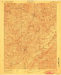
1923 · Chatham
USGS Topo · 1:62,500
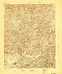
1924 · Draper
USGS Topo · 1:48,000
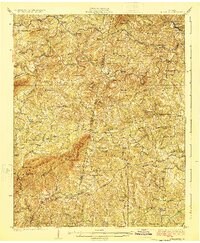
1924 · Callands
USGS Topo · 1:62,500
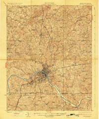
1925 · Danville
USGS Topo · 1:62,500
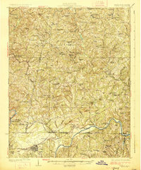
1926 · Draper
USGS Topo · 1:62,500
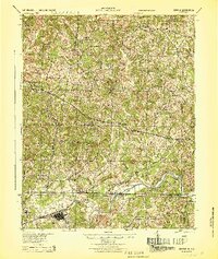
1944 · Draper
USGS Topo · 1:62,500
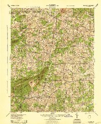
1944 · Callands
USGS Topo · 1:62,500