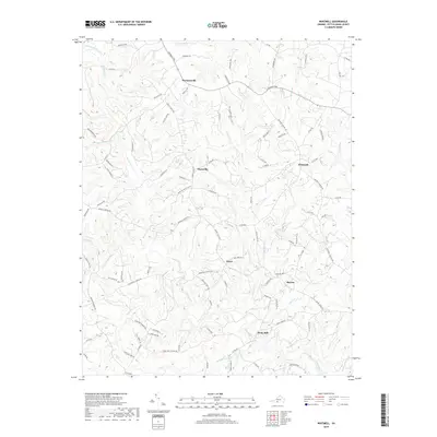
2019 Map of Whitmell
USGS Topo · Published 2019About this map
Stony Mill and the surrounding agricultural landscape of Pittsylvania County define this portion of the Virginia Piedmont. The terrain is characterized by the complex drainage systems of the Sandy River and its numerous tributaries, including the W Fork Sandy River and S Prong Sandy River. Small, established communities like Swansonville, Whitmell, and Hinesville are linked by a dense network of country roads such as the Franklin Tpke and Mount Cross Rd. The map illustrates a contemporary rural pattern where family-named landmarks and local roads—like Sugar Barbour Rd and Collins Farm Rd—reflect generations of land use. Significant water features such as Bacon Pond and creeks like Stewart Cr and Hickory Forest Cr crisscross the ridges, showing the enduring relationship between the area's hydrology and its settlement history.
Find a feature on this map
98 named features on this map. Tap any name to fly to it.
Don’t see what you’re looking for? This feature index may not catch every label — zoom into the map to look around manually.
Map Details
Editions of this 2019 Whitmell Map
This is the sole edition of this map. No revisions or reprints were ever made.
Other maps of this area

1921 · Chatham
USGS Topo · 1:48,000

1922 · Callands
USGS Topo · 1:48,000

1923 · Danville
USGS Topo · 1:48,000

1923 · Chatham
USGS Topo · 1:62,500

1924 · Draper
USGS Topo · 1:48,000

1924 · Callands
USGS Topo · 1:62,500

1925 · Danville
USGS Topo · 1:62,500

1926 · Draper
USGS Topo · 1:62,500

1944 · Draper
USGS Topo · 1:62,500

1944 · Callands
USGS Topo · 1:62,500