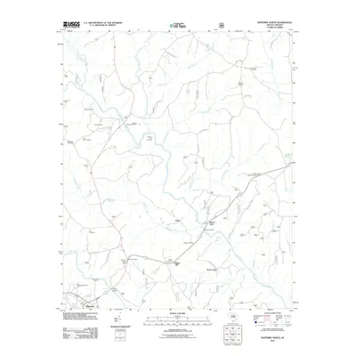
2011 Map of Whitmire North
USGS Topo · Published 2011About this map
The Tyger River and Enoree River converge in this part of Newberry County, defining a landscape of river bends and traditional rural settlements. Whitmire serves as the primary hub in the southwest, while the surrounding countryside is dotted with small communities like Goshen Hill, Delta, and Sartor Town. The map is particularly dense with genealogical markers, including the Otterson Fort Cemetery and Cane Creek Cemetery, alongside family-named landmarks such as Hamiltons Ford and Thorp Bridge.
Find a feature on this map
51 named features on this map. Tap any name to fly to it.
Don’t see what you’re looking for? This feature index may not catch every label — zoom into the map to look around manually.
Map Details
Editions of this 2011 Whitmire North Map
This is the sole edition of this map. No revisions or reprints were ever made.
Other maps of this area

1904 · Columbia
USGS Topo · 1:125,000

1941 · Spartanburg
USGS Topo · 1:250,000

1953 · Spartanburg
USGS Topo · 1:250,000

1960 · Spartanburg
USGS Topo · 1:250,000

1963 · Spartanburg
USGS Topo · 1:250,000

1964 · Spartanburg
USGS Topo · 1:250,000

1969 · Whitmire South
USGS Topo · 1:24,000

1969 · Blair
USGS Topo · 1:24,000

1969 · Newberry NW
USGS Topo · 1:24,000

1969 · Union West
USGS Topo · 1:24,000