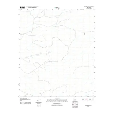
2010 Map of Whitmire Pass
USGS Topo · Published 2010About this map
Animas Mountain stands as the central topographic anchor of this Southwestern landscape, separating the vast basins of the Animas Valley to the west and the Playas Valley to the east. The terrain is defined by a network of drainage systems, including the seasonal courses of Willow Creek, Whitmire Creek, and Rough Creek, which carve through the high desert toward the flats. A notable point of historic interest is the Black Streak Claim, indicating the legacy of mineral exploration in this corner of Hidalgo County. Access to this remote area is facilitated by a grid of county roads, such as County Rd C043 and County Rd C025, which navigate the slopes near Whitmire Pass and the topographic feature known as the Rincon.
Find a feature on this map
14 named features on this map. Tap any name to fly to it.
Don’t see what you’re looking for? This feature index may not catch every label — zoom into the map to look around manually.
Map Details
Editions of this 2010 Whitmire Pass Map
This is the sole edition of this map. No revisions or reprints were ever made.
Other maps of this area

1918 · Walnut Wells
USGS Topo · 1:62,500

1918 · Playas
USGS Topo · 1:62,500

1918 · Animas Peak
USGS Topo · 1:62,500

1918 · Pratt
USGS Topo · 1:62,500

1919 · Pratt
USGS Topo · 1:62,500

1919 · Playas
USGS Topo · 1:62,500

1920 · Animas Peak
USGS Topo · 1:62,500

1923 · Walnut Wells
USGS Topo · 1:62,500

1955 · Douglas
USGS Topo · 1:250,000

1959 · Douglas
USGS Topo · 1:250,000