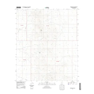
2013 Map of Whitmire Pass
USGS Topo · Published 2013About this map
Animas Mountains dominate the landscape of this high-desert portion of Hidalgo County, rising sharply above the surrounding drainages. This region of the Bootheel is defined by its drainage systems, including the west-flowing Willow Cr and Whitmire Cr, which originate near the strategic high point of Whitmire Pass. Further south, McClean Cr and Rough Cr carve through the foothills, illustrating the hydraulic patterns that dictated early ranching and travel routes in this arid corner of New Mexico.
Find a feature on this map
16 named features on this map. Tap any name to fly to it.
Don’t see what you’re looking for? This feature index may not catch every label — zoom into the map to look around manually.
Map Details
Editions of this 2013 Whitmire Pass Map
This is the sole edition of this map. No revisions or reprints were ever made.
Other maps of this area

1918 · Walnut Wells
USGS Topo · 1:62,500

1918 · Playas
USGS Topo · 1:62,500

1918 · Animas Peak
USGS Topo · 1:62,500

1918 · Pratt
USGS Topo · 1:62,500

1919 · Pratt
USGS Topo · 1:62,500

1919 · Playas
USGS Topo · 1:62,500

1920 · Animas Peak
USGS Topo · 1:62,500

1923 · Walnut Wells
USGS Topo · 1:62,500

1955 · Douglas
USGS Topo · 1:250,000

1959 · Douglas
USGS Topo · 1:250,000