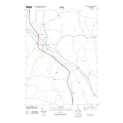
2010 Map of Whitney Point
USGS Topo · Published 2010About this map
The Tioughnioga River serves as the central artery for this portion of Broome County, where the massive Whitney Point Flood Control Dam significantly shapes the local hydrology and landscape. Just downstream, the village of Whitney Point serves as a local hub, surrounded by smaller settlements like Itaska, Triangle, and Hydeville. The distribution of rural cemeteries—including Page Brook Cemetery, Adams Street Cemetery, and Saint Patricks Cemetery—reflects a long history of family homesteads scattered across the hills. Tracing the courses of Bull Creek and Castle Creek, researchers can observe how the road network, including names like Keibel Rd and Rich Hill Rd, follows the natural contours of the valley floors and higher elevations like Swan Hill Rd.
Find a feature on this map
61 named features on this map. Tap any name to fly to it.
Don’t see what you’re looking for? This feature index may not catch every label — zoom into the map to look around manually.
Map Details
Editions of this 2010 Whitney Point Map
This is the sole edition of this map. No revisions or reprints were ever made.
Other maps of this area

1901 · Apalachin
USGS Topo · 1:62,500

1903 · Harford
USGS Topo · 1:62,500

1904 · Binghamton
USGS Topo · 1:62,500

1904 · Greene
USGS Topo · 1:62,500

1904 · Apalachin
USGS Topo · 1:62,500

1906 · Catatonk
USGS Topo · 1:125,000

1934 · Castle Creek
USGS Topo · 1:24,000

1935 · Chenango Forks
USGS Topo · 1:24,000

1942 · Castle Creek
USGS Topo · 1:31,680

1942 · Chenango Forks
USGS Topo · 1:31,680