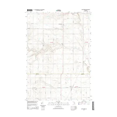
2014 Map of Whittemore
USGS Topo · Published 2014About this map
The Whittemore and Turner settlements anchor this landscape along the boundary of Iosco and Arenac Counties. A sophisticated network of agricultural and natural waterways defines the drainage of this region, including the Au Gres River and numerous tributaries such as Mongo Cr, Porterfield Cr, and Johnson Cr. The map reveals a pattern of rural development marked by family-named infrastructure and local landmarks. Genealogists will find significant value in the preservation of several burial grounds, including Burleigh Cem near Wilson Creek Rd and the Cedar Valley Cem to the south. The transition from Iosco to Arenac is clearly delineated by Co Line Rd and the County Line Drain, highlighting how civil engineering and natural hydrology often intersect in this part of Michigan.
Find a feature on this map
70 named features on this map. Tap any name to fly to it.
Don’t see what you’re looking for? This feature index may not catch every label — zoom into the map to look around manually.
Map Details
Editions of this 2014 Whittemore Map
This is the sole edition of this map. No revisions or reprints were ever made.
Other maps of this area

1954 · Tawas City
USGS Topo · 1:250,000

1958 · Tawas City
USGS Topo · 1:250,000

1959 · Tawas City
USGS Topo · 1:62,500

1966 · Au Gres
USGS Topo · 1:24,000

1966 · National City
USGS Topo · 1:24,000

1968 · Prescott
USGS Topo · 1:24,000

1968 · Whittemore
USGS Topo · 1:24,000

1968 · Sage Lake
USGS Topo · 1:24,000
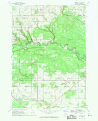
1968 · Omer SW
USGS Topo · 1:24,000
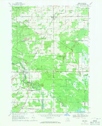
1968 · Omer
USGS Topo · 1:24,000