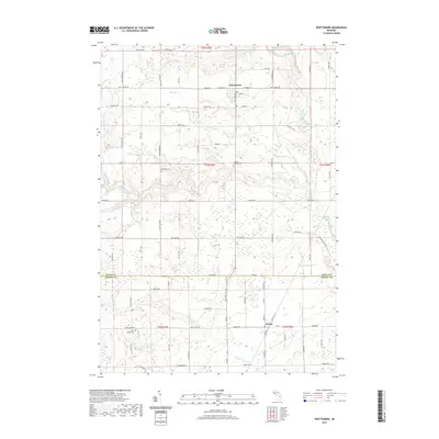
2019 Map of Whittemore
USGS Topo · Published 2019About this map
Whittemore serves as the primary northern hub of this landscape, situated at the junction of Prescott Rd and Whittemore Rd. The terrain is defined by a dense network of hydrologic features that cross the county line between Iosco and Arenac. While the Au Gres River dominates the eastern edge, the central and western sections are carved by numerous tributaries including Johnson Creek, Mongo Creek, and Porterfield Creek. To the south, the village of Turner anchors the lower portion of the sheet near the path of Scott Drain. The region's history is marked by several rural burial grounds that speak to generations of local families, including Burleigh Cemetery and the Cedar Valley Cemetery tucked away near Maple Ridge Rd. An intricate grid of local roads like Leggett Rd and Townline Rd suggests a landscape shaped by structured land survey and agricultural development.
Find a feature on this map
50 named features on this map. Tap any name to fly to it.
Don’t see what you’re looking for? This feature index may not catch every label — zoom into the map to look around manually.
Map Details
Editions of this 2019 Whittemore Map
This is the sole edition of this map. No revisions or reprints were ever made.
Other maps of this area

1954 · Tawas City
USGS Topo · 1:250,000

1958 · Tawas City
USGS Topo · 1:250,000

1959 · Tawas City
USGS Topo · 1:62,500

1966 · Au Gres
USGS Topo · 1:24,000

1966 · National City
USGS Topo · 1:24,000

1968 · Prescott
USGS Topo · 1:24,000

1968 · Whittemore
USGS Topo · 1:24,000

1968 · Sage Lake
USGS Topo · 1:24,000
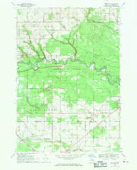
1968 · Omer SW
USGS Topo · 1:24,000
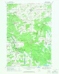
1968 · Omer
USGS Topo · 1:24,000