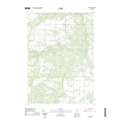
2023 Map of Whittemore
USGS Topo · Published 2023About this map
Whittemore and the neighboring village of Turner anchor this survey of the boundary lands between Iosco and Arenac counties. The landscape is defined by an intricate network of waterways and drains, including the Au Gres River and numerous tributaries like Whitney Creek and Johnson Creek. This drainage pattern reflects the region's agricultural foundations, where land management has long been essential for local farming. Genealogists will find significant value in the distribution of local burial grounds, such as Burleigh Cem, Johnson Creek Cem, and Cedar Valley Cem, which are scattered throughout the townships. The map also delineates large managed areas, notably the Farm Service Agency Interest of Michigan, highlighting the continued intersection of public land management and private industry in this part of Michigan.
Find a feature on this map
77 named features on this map. Tap any name to fly to it.
Don’t see what you’re looking for? This feature index may not catch every label — zoom into the map to look around manually.
Map Details
Editions of this 2023 Whittemore Map
This is the sole edition of this map. No revisions or reprints were ever made.
Other maps of this area

1954 · Tawas City
USGS Topo · 1:250,000

1958 · Tawas City
USGS Topo · 1:250,000

1959 · Tawas City
USGS Topo · 1:62,500

1966 · Au Gres
USGS Topo · 1:24,000

1966 · National City
USGS Topo · 1:24,000

1968 · Prescott
USGS Topo · 1:24,000

1968 · Whittemore
USGS Topo · 1:24,000

1968 · Sage Lake
USGS Topo · 1:24,000
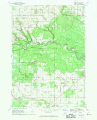
1968 · Omer SW
USGS Topo · 1:24,000
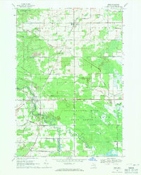
1968 · Omer
USGS Topo · 1:24,000