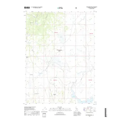
2018 Map of Whittemore Ridge
USGS Topo · Published 2018About this map
Modoc National Forest encompasses this high-elevation plateau, where the management of water for livestock and wildlife is central to the landscape. Numerous man-made improvements like the Dorris Brothers Reservoir, DeCamp Stock Tank, and Williams Valley Stock Tank support the ranching heritage of the region. These features are strategically positioned near natural drainages and wetlands such as Ingalls Swamp and Logan Slough, illustrating a complex network of seasonal water storage in an arid environment.
Find a feature on this map
28 named features on this map. Tap any name to fly to it.
Don’t see what you’re looking for? This feature index may not catch every label — zoom into the map to look around manually.
Map Details
Editions of this 2018 Whittemore Ridge Map
This is the sole edition of this map. No revisions or reprints were ever made.
Other maps of this area

1886 · Alturas
USGS Topo · 1:250,000

1892 · Alturas
USGS Topo · 1:250,000

1954 · Alturas
USGS Topo · 1:250,000

1958 · Alturas
USGS Topo · 1:250,000

1962 · Alturas
USGS Topo · 1:250,000

1962 · Big Sage Reservoir
USGS Topo · 1:62,500

1962 · Steele Swamp
USGS Topo · 1:62,500

1962 · South Mountain
USGS Topo · 1:62,500

1962 · Jacks Butte
USGS Topo · 1:62,500

1965 · Alturas
USGS Topo · 1:250,000