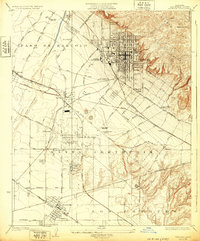
1925 Map of Whittier
USGS Topo · Published 1932About this map
Puente Hills and the rugged Turnbull Canyon overlook a landscape in transition, where the agricultural foundations of Paso De Bartolo and Santa Gertrude meet the industrial surge of the 1920s. The discovery of oil is a defining element of this era, evidenced by the dense clusters of Oil Wells around Santa Fe Springs and Fulton Wells. These petroleum fields share the flats with institutional landmarks like the Whittier State School and the sprawling grounds of the Norwalk State Hospital.
Find a feature on this map
58 named features on this map. Tap any name to fly to it.
Don’t see what you’re looking for? This feature index may not catch every label — zoom into the map to look around manually.
Map Details
Editions of this 1925 Whittier Map
2 editions found
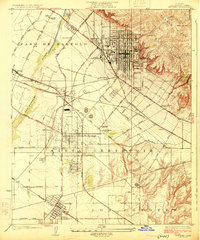
Other maps of this area

1894 · Los Angeles
USGS Topo · 1:62,500

1894 · Pomona
USGS Topo · 1:62,500

1896 · Pasadena
USGS Topo · 1:62,500

1896 · Anaheim
USGS Topo · 1:62,500

1896 · Downey
USGS Topo · 1:62,500

1897 · Pomona
USGS Topo · 1:62,500

1898 · Pomona
USGS Topo · 1:62,500

1898 · Anaheim
USGS Topo · 1:62,500

1899 · Downey
USGS Topo · 1:62,500

1900 · Pasadena
USGS Topo · 1:62,500