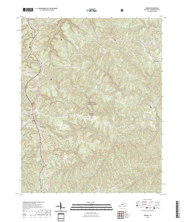
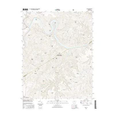
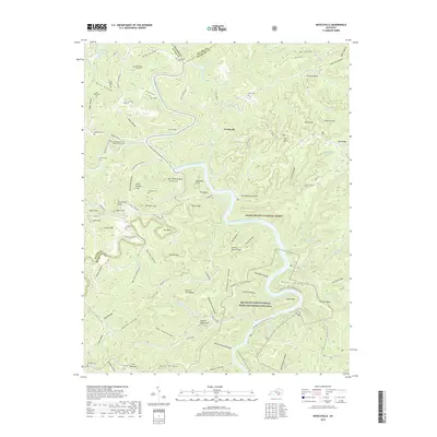
2022 Map of Wiborg
USGS Topo · Published 2022About this map
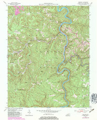
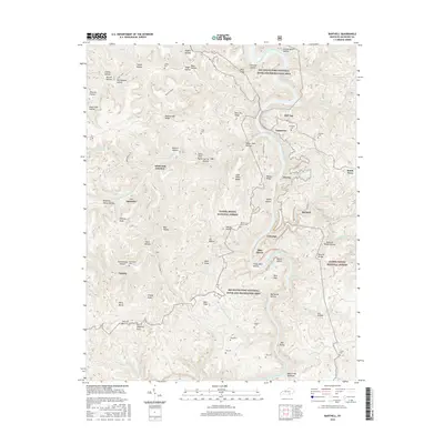
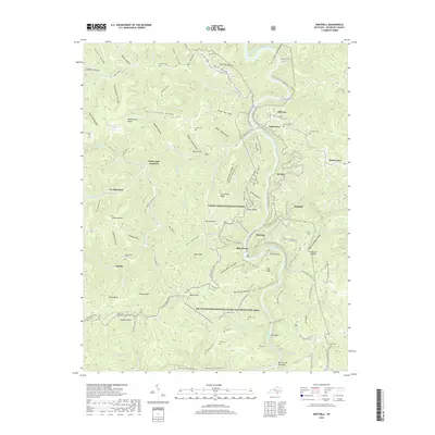
Greenwood and Honeybee anchor the northern reaches of this McCreary County landscape, where the plateau is deeply dissected by a dense network of watercourses. The territory is dominated by the Daniel Boone National Forest, characterized by numerous ridges and hollows such as Taylor Ridge and Windlass Hollow. Settlements like Beulah Heights and Wiborg are clustered along the north-south transit corridor defined by State Hwy 1651, indicating a long-standing pattern of ridge-top development above the rugged drainages of Indian Creek and Koger Cr. For local historians and genealogists, the map preserves the locations of several family and community burial grounds, including Hughes Cem and Hickenbottom Cem, which remain as quiet landmarks in the timbered hills. The presence of numerous recreational paths like the Sheltowee Trace Trl and Belgian Loop Trl reflects the area's modern role as a hub for outdoor activity within the national forest system.
Find a feature on this map
61 named features on this map. Tap any name to fly to it.
Don’t see what you’re looking for? This feature index may not catch every label — zoom into the map to look around manually.
Map Details
Editions of this 2022 Wiborg Map
This is the sole edition of this map. No revisions or reprints were ever made.
Historical Maps of Wiborg Through Time
40 maps found

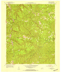
1934 Barthell
McCreary County, KY
1952 Hail
McCreary County, KY
1952 Hollyhill
McCreary County, KY
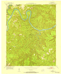
1952 Wiborg
McCreary County, KY
1954 Barthell
McCreary County, KY
1954 Bell Farm
McCreary County, KY
1954 Nevelsville
McCreary County, KY
1963 Hail
McCreary County, KY
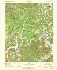
1963 Wiborg
McCreary County, KY
1979 Hollyhill
McCreary County, KY
2010 Barthell
McCreary County, KY
2010 Bell Farm
McCreary County, KY
2010 Hollyhill
McCreary County, KY
2010 Nevelsville
McCreary County, KY
2010 Wiborg
McCreary County, KY
2011 Hail
McCreary County, KY
2013 Barthell
McCreary County, KY
2013 Bell Farm
McCreary County, KY
2013 Hail
McCreary County, KY
2013 Hollyhill
McCreary County, KY
2013 Nevelsville
McCreary County, KY
2013 Wiborg
McCreary County, KY
2016 Barthell
McCreary County, KY
2016 Bell Farm
McCreary County, KY
2016 Hail
McCreary County, KY
2016 Hollyhill
McCreary County, KY
2016 Nevelsville
McCreary County, KY
2016 Wiborg
McCreary County, KY
2019 Barthell
McCreary County, KY
2019 Bell Farm
McCreary County, KY
2019 Hail
McCreary County, KY
2019 Hollyhill
McCreary County, KY
2019 Nevelsville
McCreary County, KY
2019 Wiborg
McCreary County, KY
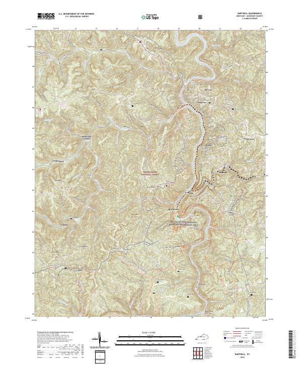
2022 Barthell
McCreary County, KY
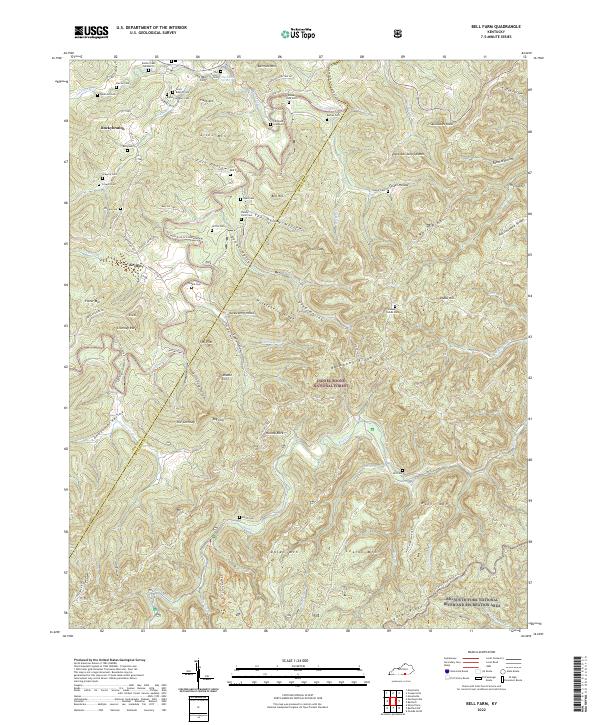
2022 Bell Farm
McCreary County, KY
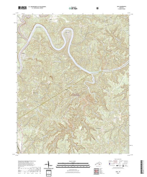
2022 Hail
McCreary County, KY
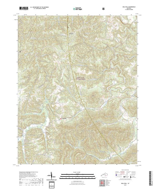
2022 Hollyhill
McCreary County, KY
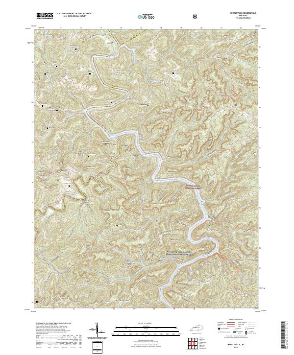
2022 Nevelsville
McCreary County, KY
2022 Wiborg
McCreary County, KY