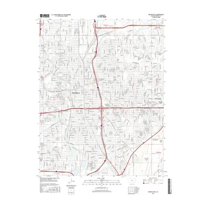
2015 Map of Wichita East
USGS Topo · Published 2015About this map
Wichita serves as the focal point of this 2015 study, illustrating the dense urban grid and extensive suburban expansion of south-central Kansas. The confluence of the Arkansas River and the Little Arkansas River anchors the geography, while the industrial legacy of the region is evident in the presence of Mc Connell Air Force Base and the Cessna Aircraft Field. For those tracing local history, the map preserves the locations of several historic burial grounds, including Old Mission Cem and the Wichita Hebrew Cem.
Find a feature on this map
153 named features on this map. Tap any name to fly to it.
Don’t see what you’re looking for? This feature index may not catch every label — zoom into the map to look around manually.
Map Details
Editions of this 2015 Wichita East Map
This is the sole edition of this map. No revisions or reprints were ever made.
Other maps of this area

1889 · Wichita
USGS Topo · 1:125,000

1894 · Wichita
USGS Topo · 1:125,000

1941 · Maize
USGS Topo · 1:31,680

1941 · Valley Center
USGS Topo · 1:31,680

1942 · Valley Center
USGS Topo · 1:31,680

1942 · Maize
USGS Topo · 1:31,680

1943 · Wichita West
USGS Topo · 1:31,680

1943 · Wichita East
USGS Topo · 1:31,680

1943 · Derby
USGS Topo · 1:31,680

1943 · Bayneville
USGS Topo · 1:31,680