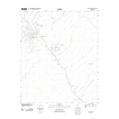
2011 Map of Wickenburg
USGS Topo · Published 2011About this map
The Hassayampa River flows southeast through this desert corridor, anchoring a landscape where the urban center of Wickenburg transitions into wide-open terrain marked by dry washes and mountain peaks. In the northwest, the town’s civic infrastructure is represented by the Wickenburg Post Office and the Arizona Highway Maintenance Wickenburg Yard. The presence of the Rio Vista Hills Airport and several small settlements like Mockingbird Hill and Allah illustrate the scattered residential and aviation-oriented growth following the river valley.
Find a feature on this map
47 named features on this map. Tap any name to fly to it.
Don’t see what you’re looking for? This feature index may not catch every label — zoom into the map to look around manually.
Map Details
Editions of this 2011 Wickenburg Map
This is the sole edition of this map. No revisions or reprints were ever made.
Other maps of this area

1887 · Prescott
USGS Topo · 1:250,000

1892 · Prescott
USGS Topo · 1:250,000

1903 · Congress
USGS Topo · 1:125,000

1904 · Congress
USGS Topo · 1:125,000

1947 · Wagoner
USGS Topo · 1:62,500

1948 · Wagoner
USGS Topo · 1:63,360

1950 · Wagoner
USGS Topo · 1:62,500

1950 · Prescott
USGS Topo · 1:250,000

1954 · Prescott
USGS Topo · 1:250,000

1954 · Phoenix
USGS Topo · 1:250,000