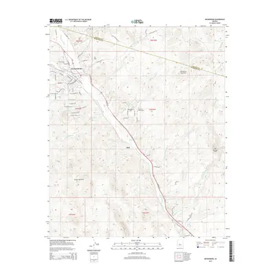
2014 Map of Wickenburg
USGS Topo · Published 2014About this map
Wickenburg sits at the nexus of the Arizona desert and mountain transitions, anchored by the Hassayampa River which cuts a path through the center of the sheet. The 2014 survey reveals the community's layout, where the street grid of the town center meets arterial routes like Us-93 and W Wickenburg Way. This era of documentation shows the town's expansion toward the foothills, with residential developments like Sunnycove Heights Rd and Via Tortuga Dr encroaching on the desert landscape.
Find a feature on this map
68 named features on this map. Tap any name to fly to it.
Don’t see what you’re looking for? This feature index may not catch every label — zoom into the map to look around manually.
Map Details
Editions of this 2014 Wickenburg Map
This is the sole edition of this map. No revisions or reprints were ever made.
Other maps of this area

1887 · Prescott
USGS Topo · 1:250,000

1892 · Prescott
USGS Topo · 1:250,000

1903 · Congress
USGS Topo · 1:125,000

1904 · Congress
USGS Topo · 1:125,000

1947 · Wagoner
USGS Topo · 1:62,500

1948 · Wagoner
USGS Topo · 1:63,360

1950 · Wagoner
USGS Topo · 1:62,500

1950 · Prescott
USGS Topo · 1:250,000

1954 · Prescott
USGS Topo · 1:250,000

1954 · Phoenix
USGS Topo · 1:250,000