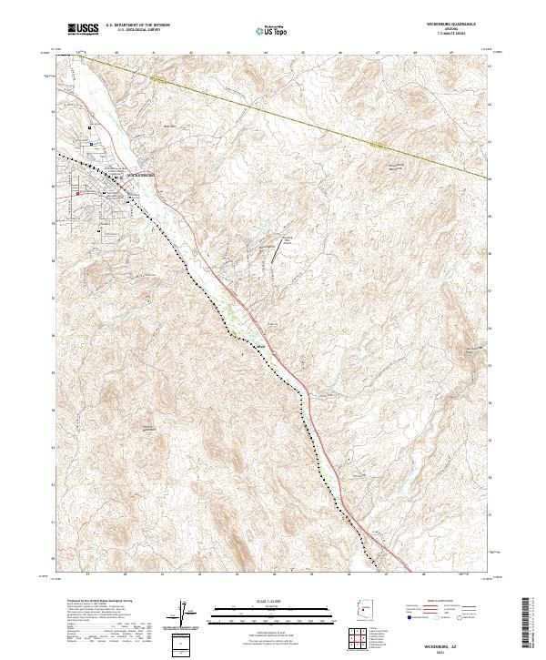
2021 Map of Wickenburg
USGS Topo · Published 2021About this map
The Hassayampa River corridor provides the central axis for this detailed desert landscape, where the settlement of Wickenburg sits at the junction of the Vulture Mountains and the Wickenburg Mountains. The town's historical foundations are evident through several significant burial sites, including the Pioneer Cem and the Henry Wickenburg Pioneer Cem, which honor the area's namesake. To the south, the community of Allah appears along the riverbanks near Palm Lake, illustrating the distribution of desert settlements along vital watercourses.
Find a feature on this map
85 named features on this map. Tap any name to fly to it.
Don’t see what you’re looking for? This feature index may not catch every label — zoom into the map to look around manually.
Map Details
Editions of this 2021 Wickenburg Map
This is the sole edition of this map. No revisions or reprints were ever made.
Other maps of this area

1887 · Prescott
USGS Topo · 1:250,000

1892 · Prescott
USGS Topo · 1:250,000

1903 · Congress
USGS Topo · 1:125,000

1904 · Congress
USGS Topo · 1:125,000

1947 · Wagoner
USGS Topo · 1:62,500

1948 · Wagoner
USGS Topo · 1:63,360

1950 · Wagoner
USGS Topo · 1:62,500

1950 · Prescott
USGS Topo · 1:250,000

1954 · Prescott
USGS Topo · 1:250,000

1954 · Phoenix
USGS Topo · 1:250,000