
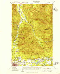
1951 Map of Wickersham
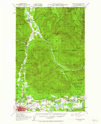
USGS Topo · Published 1974About this map
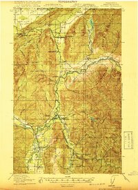
Sedro-Woolley and the surrounding river valleys of Skagit County are defined here by a mid-century landscape of logging, rail transport, and early institutional development. The Northern Pacific railroad serves as the primary corridor through the valley, connecting settlements like Wickersham, Acme, and Lyman. The presence of the Northern State Hospital and the Cokedale Mine highlights the diverse economic and social foundations of the area during this period. The terrain transitions from the alluvial plains of the Skagit River and South Fork Nooksack River to the prominent heights of Blue Mountain and Bald Mountain. Smaller rural landmarks such as Samish School, Tingley School, and the Lyman Ferry (Site) offer specific points of interest for those researching local family history or the evolution of transportation before the modern highway system fully reshaped the region.
Find a feature on this map
72 named features on this map. Tap any name to fly to it.
Don’t see what you’re looking for? This feature index may not catch every label — zoom into the map to look around manually.
Map Details
Editions of this 1951 Wickersham Map
3 editions found
Other maps of this area

1899 · Stillaguamish
USGS Topo · 1:125,000

1901 · Stilaguamish
USGS Topo · 1:125,000
1906 · Sumas
USGS Topo · 1:62,500
1908 · Sumas
USGS Topo · 1:62,500

1909 · Mt Baker
USGS Topo · 1:192,000

1911 · Mount Vernon
USGS Topo · 1:125,000

1915 · Mt. Baker
USGS Topo · 1:250,000

1918 · Samish Lake
USGS Topo · 1:62,500
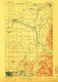
1919 · Van Zandt
USGS Topo · 1:62,500

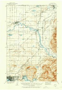
1921 · Wickersham
USGS Topo · 1:62,500