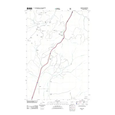
2011 Map of Wickes
USGS Topo · Published 2011About this map
The rugged landscape of Alta Mountain and the surrounding gulches reveal a significant legacy of extraction near the settlement of Wickes. This area of Jefferson County is characterized by numerous historic workings, including the Alta Mines, Eureka Mine, and the Bunker Hill Mine. Evidence of industrial processing remains visible through the Wickes Tailings and the Wickes Tunnel, which connect the town to the local topography.
Find a feature on this map
73 named features on this map. Tap any name to fly to it.
Don’t see what you’re looking for? This feature index may not catch every label — zoom into the map to look around manually.
Map Details
Editions of this 2011 Wickes Map
This is the sole edition of this map. No revisions or reprints were ever made.
Other maps of this area

1886 · Fort Logan
USGS Topo · 1:250,000

1889 · Helena
USGS Topo · 1:250,000

1893 · Helena
USGS Topo · 1:250,000

1899 · Boulder
USGS Topo · 1:125,000

1899 · Helena
USGS Topo · 1:250,000

1903 · Helena
USGS Topo · 1:250,000

1947 · Butte
USGS Topo · 1:250,000

1948 · White Sulphur Springs
USGS Topo · 1:250,000

1950 · Devils Fence
USGS Topo · 1:62,500

1950 · Jefferson City
USGS Topo · 1:62,500