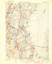
1944 Map of Wickford
USGS Topo · Published 1944About this map
Wickford Harbor and the West Passage of Narragansett Bay define the character of this mid-century coastal survey. The map details a landscape transition where military and maritime infrastructure meets a network of established Rhode Island settlements and mill ponds. Significant features like Fort Greble on Dutch Island and the Wickford Lighthouse mark the strategic importance of the bay, while the presence of the Jamestown Bridge reflects the era's evolving transportation needs.
Find a feature on this map
99 named features on this map. Tap any name to fly to it.
Don’t see what you’re looking for? This feature index may not catch every label — zoom into the map to look around manually.
Map Details
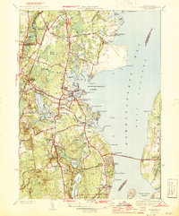
Editions of this 1944 Wickford Map
2 editions found
Other maps of this area

1889 · Charlestown
USGS Topo · 1:62,500

1889 · Newport
USGS Topo · 1:62,500

1890 · Narragansett Bay
USGS Topo · 1:62,500

1890 · Kent
USGS Topo · 1:62,500

1892 · Narragansett Bay
USGS Topo · 1:62,500

1894 · Kent
USGS Topo · 1:62,500

1894 · Newport
USGS Topo · 1:62,500

1904 · Newport
USGS Topo · 1:62,500

1919 · Charlestown
USGS Topo · 1:62,500

1919 · Narragansett Bay
USGS Topo · 1:62,500