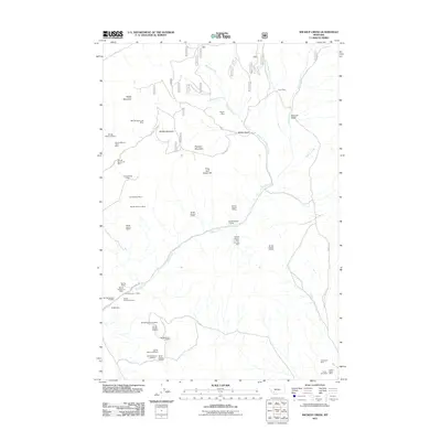
2011 Map of Wickiup Creek
USGS Topo · Published 2011About this map
Negro Mountain and Moffet Mountain dominate this corner of Silver Bow County, where a dense network of high-altitude mining claims defines the landscape. The region is characterized by steep gulches and numerous named drainage systems, including Wickiup Creek and Rochester Creek. Prospectors and historians will find an extraordinary concentration of early 21st-century mining data, ranging from the Clipper Mine and Locust-Assey Mine in the north to the Penobscot Mine and Lizzie Ann Mine further south. The map illustrates a rugged resource-extraction economy, showing specialized landmarks such as Smith Dam and the isolated Cow Camp. These features, along with names like the Columbia Mine and Summit/Mount Hecla Mine, provide a detailed look at the section-based survey system used to organize Montana's mineral wealth.
Find a feature on this map
44 named features on this map. Tap any name to fly to it.
Don’t see what you’re looking for? This feature index may not catch every label — zoom into the map to look around manually.
Map Details
Editions of this 2011 Wickiup Creek Map
This is the sole edition of this map. No revisions or reprints were ever made.
Other maps of this area

1893 · Dillon
USGS Topo · 1:250,000

1955 · Dillon
USGS Topo · 1:250,000

1957 · Dillon
USGS Topo · 1:250,000

1958 · Dillon
USGS Topo · 1:250,000

1960 · Twin Bridges
USGS Topo · 1:62,500

1961 · Melrose
USGS Topo · 1:24,000

1961 · Earls Gulch
USGS Topo · 1:24,000

1961 · Wickiup Creek
USGS Topo · 1:24,000

1961 · Nez Perce Hollow
USGS Topo · 1:24,000

1961 · Butte South
USGS Topo · 1:62,500