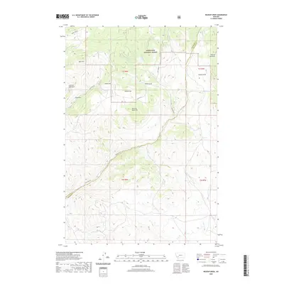
2020 Map of Wickiup Creek
USGS Topo · Published 2020About this map
Deerlodge National Forest dominates this high-altitude landscape south of Butte, where the Highland Mountains rise across the Silver Bow and Madison county lines. The terrain is defined by a series of steep drainages and named peaks, including Pandora Mtn, Moffet Mtn, and the distinctive King and Queen Hill. These landmarks are carved by a network of seasonal and perennial watercourses like Wickiup Cr and Camp Cr, which flow through deep incisions such as Sawmill Gulch and Moffet Gulch.
Find a feature on this map
26 named features on this map. Tap any name to fly to it.
Don’t see what you’re looking for? This feature index may not catch every label — zoom into the map to look around manually.
Map Details
Editions of this 2020 Wickiup Creek Map
This is the sole edition of this map. No revisions or reprints were ever made.
Other maps of this area

1893 · Dillon
USGS Topo · 1:250,000

1955 · Dillon
USGS Topo · 1:250,000

1957 · Dillon
USGS Topo · 1:250,000

1958 · Dillon
USGS Topo · 1:250,000

1960 · Twin Bridges
USGS Topo · 1:62,500

1961 · Melrose
USGS Topo · 1:24,000

1961 · Earls Gulch
USGS Topo · 1:24,000

1961 · Wickiup Creek
USGS Topo · 1:24,000

1961 · Nez Perce Hollow
USGS Topo · 1:24,000

1961 · Butte South
USGS Topo · 1:62,500