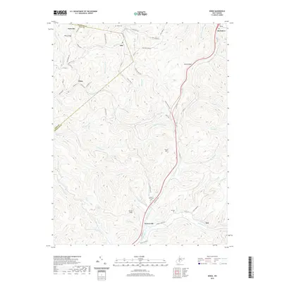
2019 Map of Widen
USGS Topo · Published 2019About this map
Widen and the surrounding timber and mining terrain of the Nicholas and Clay County line are captured in this recent survey. The settlement of Widen shows its distinct street layout, including Nicholas Street and Braxton Street, which once served a bustling coal town community. The landscape is defined by its complex drainage network, where Strange Creek and Buffalo Creek carve through the high ridges of Powell Mountain and Browns Ridge.
Find a feature on this map
76 named features on this map. Tap any name to fly to it.
Don’t see what you’re looking for? This feature index may not catch every label — zoom into the map to look around manually.
Map Details
Editions of this 2019 Widen Map
This is the sole edition of this map. No revisions or reprints were ever made.
Other maps of this area

1889 · Nicholas
USGS Topo · 1:125,000

1891 · Nicholas
USGS Topo · 1:125,000

1893 · Sutton
USGS Topo · 1:125,000

1901 · Nicholas
USGS Topo · 1:125,000

1908 · Gassaway
USGS Topo · 1:48,000

1908 · Sutton
USGS Topo · 1:48,000

1910 · Sutton Special
USGS Topo · 1:62,500

1910 · Gassaway
USGS Topo · 1:62,500

1913 · Summersville
USGS Topo · 1:48,000

1915 · Cowen
USGS Topo · 1:48,000