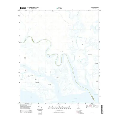
2014 Map of Wiggins
USGS Topo · Published 2014About this map
The Combahee River and its intricate network of coastal tributaries define this Lowcountry landscape along the Beaufort and Colleton county line. This 2014 survey captures a labyrinth of tidewater islands and marshy necks, including Williman Islands and Old Combahee Island. The settlement patterns here are deeply tied to the water, with the small community of Wiggins situated to the north and Chisolm located near the confluence of Wimbee Creek and the Bull River.
Find a feature on this map
35 named features on this map. Tap any name to fly to it.
Don’t see what you’re looking for? This feature index may not catch every label — zoom into the map to look around manually.
Map Details
Editions of this 2014 Wiggins Map
This is the sole edition of this map. No revisions or reprints were ever made.
Other maps of this area

1918 · Green Pond
USGS Topo · 1:62,500

1919 · Edisto Island
USGS Topo · 1:62,500

1920 · St. Helena Sound
USGS Topo · 1:62,500

1943 · Edisto Island
USGS Topo · 1:62,500

1943 · Green Pond
USGS Topo · 1:62,500

1944 · Fort Fremont
USGS Topo · 1:62,500

1947 · Savannah
USGS Topo · 1:250,000

1948 · St. Helena Sound
USGS Topo · 1:62,500

1948 · Savannah
USGS Topo · 1:250,000

1956 · Frogmore
USGS Topo · 1:24,000