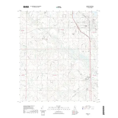
2018 Map of Wiggins
USGS Topo · Published 2018About this map
Wiggins serves as the primary hub in this portion of Stone County, where the street grid fans out near the intersection of Highway 49 and the local road network. South of the city, the campus of Mississippi Gulf Coast Community College anchors the settlement of Perkinston. The landscape is defined by a dense network of watercourses and wetlands, including the wide path of Red Creek and the low-lying reaches of Hickman Bay and Daniel Bay.
Find a feature on this map
115 named features on this map. Tap any name to fly to it.
Don’t see what you’re looking for? This feature index may not catch every label — zoom into the map to look around manually.
Map Details
Editions of this 2018 Wiggins Map
This is the sole edition of this map. No revisions or reprints were ever made.
Other maps of this area

1947 · Wiggins
USGS Topo · 1:62,500

1949 · Wiggins
USGS Topo · 1:62,500

1953 · Mobile
USGS Topo · 1:250,000

1954 · McHenry
USGS Topo · 1:62,500

1955 · Savannah
USGS Topo · 1:62,500

1957 · Mobile
USGS Topo · 1:250,000

1958 · Carnes
USGS Topo · 1:62,500

1960 · Mobile
USGS Topo · 1:250,000

1963 · Mobile
USGS Topo · 1:250,000

1965 · Mobile
USGS Topo · 1:250,000