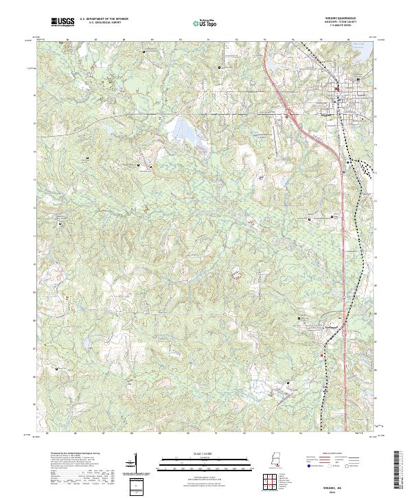
2024 Map of Wiggins
USGS Topo · Published 2024About this map
Wiggins serves as the focal point of this Stone County landscape, anchored by the Stone County Courthouse and a dense network of residential streets. The southern portion of the map highlights the educational hub of Perkinston, featuring the Mississippi Gulf Coast Community College Perkinston Campus. This region is defined by a series of geographic "bays," including Hickman Bay, Daniel Bay, and India Bay, which sit amidst a complex hydrographic system fed by Red Creek and Tenmile Creek.
Find a feature on this map
137 named features on this map. Tap any name to fly to it.
Don’t see what you’re looking for? This feature index may not catch every label — zoom into the map to look around manually.
Map Details
Editions of this 2024 Wiggins Map
This is the sole edition of this map. No revisions or reprints were ever made.
Other maps of this area

1947 · Wiggins
USGS Topo · 1:62,500

1949 · Wiggins
USGS Topo · 1:62,500

1953 · Mobile
USGS Topo · 1:250,000

1954 · McHenry
USGS Topo · 1:62,500

1955 · Savannah
USGS Topo · 1:62,500

1957 · Mobile
USGS Topo · 1:250,000

1958 · Carnes
USGS Topo · 1:62,500

1960 · Mobile
USGS Topo · 1:250,000

1963 · Mobile
USGS Topo · 1:250,000

1965 · Mobile
USGS Topo · 1:250,000