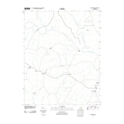
2010 Map of Wightman
USGS Topo · Published 2010About this map
The Middle Meherrin River, South Meherrin River, and North Meherrin River converge in this pocket of Lunenburg County, defining a landscape shaped by narrow waterways and small-scale settlement. The drainage network is dense, with Kits Creek, Buckhorn Creek, and Blackstone Creek feeding the larger rivers. Small community centers such as Wilburn and Drapersville appear alongside family-named junctions like Cox Corner and Johnson Corner.
Find a feature on this map
29 named features on this map. Tap any name to fly to it.
Don’t see what you’re looking for? This feature index may not catch every label — zoom into the map to look around manually.
Map Details
Editions of this 2010 Wightman Map
This is the sole edition of this map. No revisions or reprints were ever made.
Other maps of this area

1953 · Greensboro
USGS Topo · 1:250,000

1954 · Greensboro
USGS Topo · 1:250,000

1955 · Chase City
USGS Topo · 1:62,500

1955 · Kenbridge
USGS Topo · 1:62,500

1955 · Boydton
USGS Topo · 1:62,500

1962 · Greensboro
USGS Topo · 1:250,000

1966 · Greensboro
USGS Topo · 1:250,000
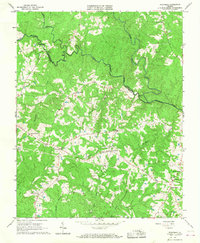
1966 · Wightman
USGS Topo · 1:24,000
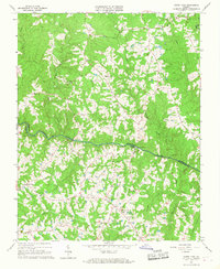
1966 · North View
USGS Topo · 1:24,000
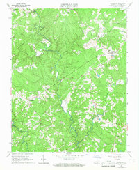
1966 · Lunenburg
USGS Topo · 1:24,000