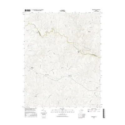
2016 Map of Wightman
USGS Topo · Published 2016About this map
The Middle Meherrin River and South Meherrin River define the northern landscape of this rural region on the border of Lunenburg and Mecklenburg counties. Small crossroad settlements like Drapersville and Wightman anchor the central hills, where a network of local roads such as Old Cox Rd and Wightman Rd connect family farms and old homesteads. The topographic detail reveals a landscape deeply carved by tributaries including Buckhorn Cr and Kits Cr, which historically supported local industry at sites like Reekes Mill. Genealogists will find several family and church burial grounds throughout the area, including Mount Horeb Cem, Berea Cem, and Salem Cem. The presence of the Twin Towers Airport near Allen Cr illustrates how modern aviation infrastructure was integrated into this traditional Southside Virginia agricultural community.
Find a feature on this map
51 named features on this map. Tap any name to fly to it.
Don’t see what you’re looking for? This feature index may not catch every label — zoom into the map to look around manually.
Map Details
Editions of this 2016 Wightman Map
This is the sole edition of this map. No revisions or reprints were ever made.
Other maps of this area

1953 · Greensboro
USGS Topo · 1:250,000

1954 · Greensboro
USGS Topo · 1:250,000

1955 · Chase City
USGS Topo · 1:62,500

1955 · Kenbridge
USGS Topo · 1:62,500

1955 · Boydton
USGS Topo · 1:62,500

1962 · Greensboro
USGS Topo · 1:250,000

1966 · Greensboro
USGS Topo · 1:250,000
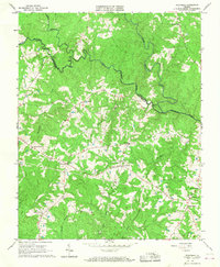
1966 · Wightman
USGS Topo · 1:24,000
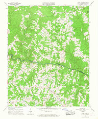
1966 · North View
USGS Topo · 1:24,000
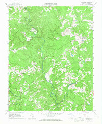
1966 · Lunenburg
USGS Topo · 1:24,000