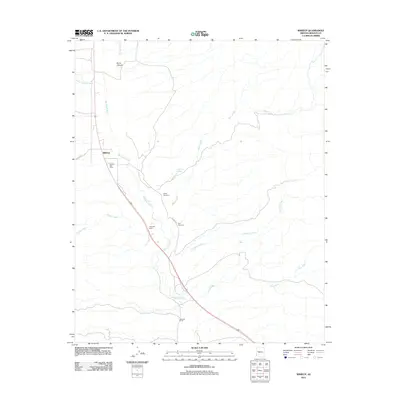
2011 Map of Wikieup
USGS Topo · Published 2011About this map
Big Sandy River defines the corridor of this arid Mohave County landscape, where US Route 93 follows the ancient path carved by the water. The settlement of Wikieup serves as a central point for the surrounding cattle operations and remote desert dwellings, anchored by the Wikieup Post Office. This 2011 survey documents a mix of legacy ranching and natural geothermal features, notably Cofer Hot Spring and long-established properties such as Hopewell Ranch and Meduele Ranch. Genealogists will find the locations of Sandy Cemetery and Noli Cemetery significant for tracing local family histories in this part of Arizona. The map further details the drainage network that feeds the river during seasonal rains, including Natural Corrals Wash, Bronco Creek, and the deeply incised Boner Canyon.
Find a feature on this map
18 named features on this map. Tap any name to fly to it.
Don’t see what you’re looking for? This feature index may not catch every label — zoom into the map to look around manually.
Map Details
Editions of this 2011 Wikieup Map
This is the sole edition of this map. No revisions or reprints were ever made.
Other maps of this area
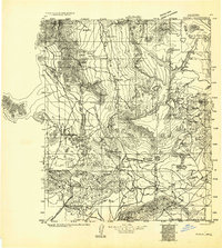
1923 · Signal
USGS Topo · 1:250,000
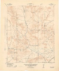
1942 · Signal
USGS Topo · 1:250,000
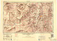
1950 · Prescott
USGS Topo · 1:250,000
1954 · Prescott
USGS Topo · 1:250,000
1958 · Prescott
USGS Topo · 1:250,000
1959 · Prescott
USGS Topo · 1:250,000
1960 · Prescott
USGS Topo · 1:250,000
1965 · Prescott
USGS Topo · 1:250,000
1967 · Groom Spring
USGS Topo · 1:24,000
1967 · Gunsight Canyon
USGS Topo · 1:24,000