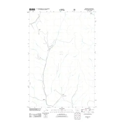
2011 Map of Wilborn
USGS Topo · Published 2011About this map
Flesher Pass serves as a critical geographic marker in this part of Lewis and Clark County, where the Continental Divide influences the drainage patterns of the surrounding mountains. The settlement of Wilborn sits at the junction of several drainages, most notably Canyon Creek and Trout Creek. The landscape is defined by its network of steep gulches and creek beds, including Bear Gulch and Sawmill Gulch, which suggest a history of resource extraction and early mountain passage.
Find a feature on this map
26 named features on this map. Tap any name to fly to it.
Don’t see what you’re looking for? This feature index may not catch every label — zoom into the map to look around manually.
Map Details
Editions of this 2011 Wilborn Map
This is the sole edition of this map. No revisions or reprints were ever made.
Other maps of this area

1889 · Helena
USGS Topo · 1:250,000

1893 · Helena
USGS Topo · 1:250,000

1899 · Helena
USGS Topo · 1:250,000

1903 · Helena
USGS Topo · 1:250,000

1943 · Hogan
USGS Topo · 1:125,000

1947 · Butte
USGS Topo · 1:250,000

1955 · Choteau
USGS Topo · 1:250,000

1957 · Choteau
USGS Topo · 1:250,000

1958 · Butte
USGS Topo · 1:250,000

1958 · Choteau
USGS Topo · 1:250,000