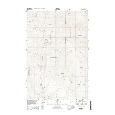
2014 Map of Wilborn
USGS Topo · Published 2014About this map
The Lewis and Clark Range dominates the terrain of this region within the Helena National Forest, where steep drainages and mountain passes define the local geography. In the southern portion of the quadrangle, the small settlements of Wilborn and Strom sit along the valley floor, connected by a network of historic transportation routes including the Old Toll Rd and Stemple Pass Rd. These roads parallel the courses of Willow Cr and Big Mill Cr, illustrating the traditional reliance on creek beds for transit through the high country.
Find a feature on this map
32 named features on this map. Tap any name to fly to it.
Don’t see what you’re looking for? This feature index may not catch every label — zoom into the map to look around manually.
Map Details
Editions of this 2014 Wilborn Map
This is the sole edition of this map. No revisions or reprints were ever made.
Other maps of this area

1889 · Helena
USGS Topo · 1:250,000

1893 · Helena
USGS Topo · 1:250,000

1899 · Helena
USGS Topo · 1:250,000

1903 · Helena
USGS Topo · 1:250,000

1943 · Hogan
USGS Topo · 1:125,000

1947 · Butte
USGS Topo · 1:250,000

1955 · Choteau
USGS Topo · 1:250,000

1957 · Choteau
USGS Topo · 1:250,000

1958 · Butte
USGS Topo · 1:250,000

1958 · Choteau
USGS Topo · 1:250,000