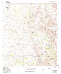
1980 Map of Wilbur Canyon
USGS Topo · Published 1985About this map
Mining operations and water management define this arid landscape within the Coronado National Forest and the rugged Las Guijas Mountains. At the beginning of the 1980s, the terrain shows a network of resource extraction sites, including the San Luis Mine, Brouse Mine, and Moore Mine. These industrial points are connected by a series of primitive routes labeled as Jeep Trail and Trail, indicating the difficulty of travel through the canyons.
Find a feature on this map
72 named features on this map. Tap any name to fly to it.
Don’t see what you’re looking for? This feature index may not catch every label — zoom into the map to look around manually.
Map Details
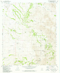
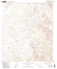
Editions of this 1980 Wilbur Canyon Map
3 editions found
Other maps of this area

1920 · Arivaca
USGS Topo · 1:125,000

1921 · Old Glory
USGS Topo · 1:125,000

1941 · Presumido Peak
USGS Topo · 1:62,500

1941 · Arivaca
USGS Topo · 1:62,500

1942 · Oro Blanco
USGS Topo · 1:62,500

1943 · Fresnal
USGS Topo · 1:125,000

1943 · Arivaca
USGS Topo · 1:62,500

1943 · Old Glory
USGS Topo · 1:125,000

1943 · Presumido Peak
USGS Topo · 1:62,500

1944 · Oro Blanco
USGS Topo · 1:62,500