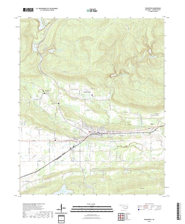
2022 Map of Wilburton
USGS Topo · Published 2022About this map
Wilburton serves as the focal point of this Oklahoma landscape, situated at the junction of significant regional routes and home to the Latimer County Courthouse. The town’s social and educational character is defined by the presence of Eastern Oklahoma State College and a cluster of historic burial grounds including Sacred Heart Cem, Masonic Cem, and Wilburton Cem. Surrounding the town, smaller settlements like Degnan and Lutie are scattered along the valley of Fourche Maline.
Find a feature on this map
109 named features on this map. Tap any name to fly to it.
Don’t see what you’re looking for? This feature index may not catch every label — zoom into the map to look around manually.
Map Details
Editions of this 2022 Wilburton Map
This is the sole edition of this map. No revisions or reprints were ever made.
Other maps of this area

1900 · Sansbois
USGS Topo · 1:125,000

1901 · Tuskahoma
USGS Topo · 1:125,000

1908 · Tuskahoma
USGS Topo · 1:125,000

1909 · Tuskahoma
USGS Topo · 1:125,000

1909 · Sans Bois
USGS Topo · 1:125,000

1911 · Sansbois
USGS Topo · 1:125,000

1940 · Red Oak
USGS Topo · 1:62,500

1943 · Red Oak
USGS Topo · 1:62,500

1946 · Fort Smith
USGS Topo · 1:250,000

1950 · Mcalester
USGS Topo · 1:250,000