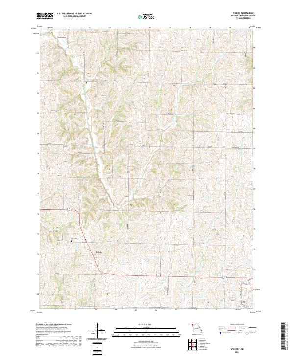
2021 Map of Wilcox
USGS Topo · Published 2021About this map
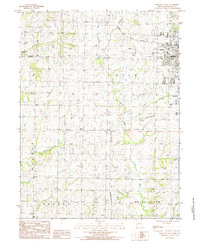
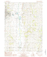
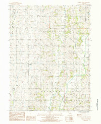
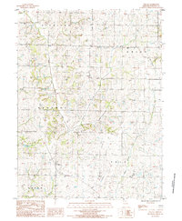
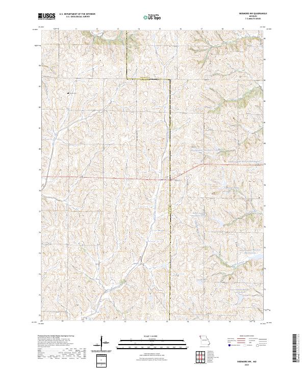
Wilcox is situated within the rolling agricultural landscape of Nodaway County, serving as a focal point for this rural topographic study. The area is defined by a dense network of seasonal and perennial waterways, including the winding course of Sand Cr and the larger drainage of Big Slough. These streams carve through the terrain, separated by a grid of section-line roads such as Fountain Rd and Hallmark Rd that reflect the enduring Public Land Survey System structure of the Missouri plains.
Find a feature on this map
43 named features on this map. Tap any name to fly to it.
Don’t see what you’re looking for? This feature index may not catch every label — zoom into the map to look around manually.
Map Details
Editions of this 2021 Wilcox Map
This is the sole edition of this map. No revisions or reprints were ever made.
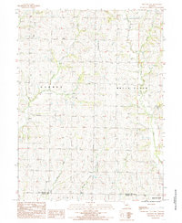
Historical Maps of Polk Township Through Time
15 maps found
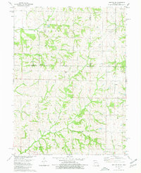
1980 Hopkins SW
Nodaway County, MO
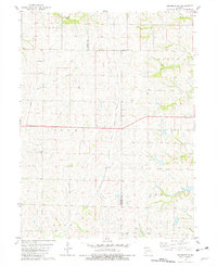
1981 Skidmore NW
Nodaway County, MO
1984 Bolckow NW
Nodaway County, MO
1984 Maryville West
Nodaway County, MO
1985 Maryville East
Nodaway County, MO
1985 Parnell West
Nodaway County, MO
1985 Wilcox
Nodaway County, MO
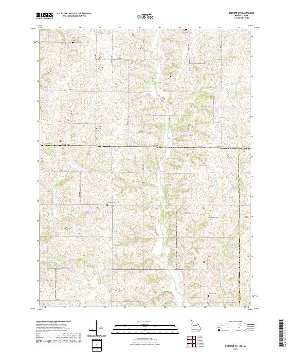
2021 Bedford SW
Nodaway County, MO
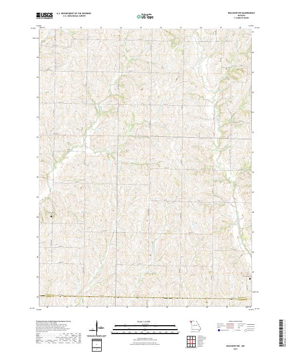
2021 Bolckow NW
Nodaway County, MO
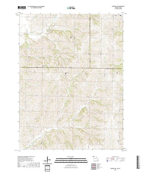
2021 Hopkins SW
Nodaway County, MO
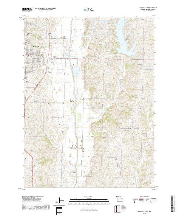
2021 Maryville East
Nodaway County, MO
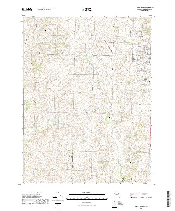
2021 Maryville West
Nodaway County, MO
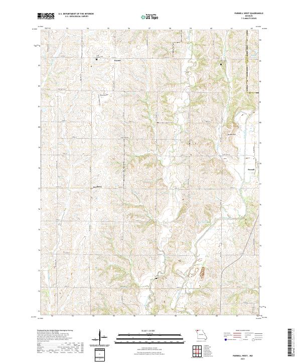
2021 Parnell West
Nodaway County, MO
2021 Wilcox
Nodaway County, MO
2023 Skidmore NW
Nodaway County, MO