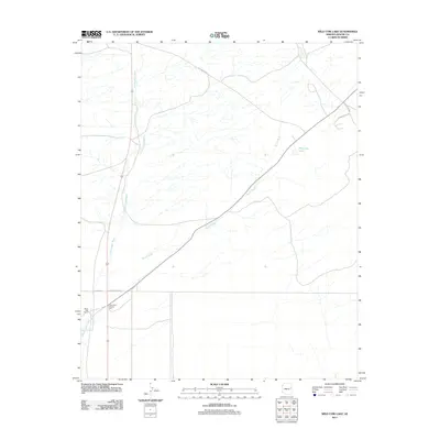
2011 Map of Wild Cow Lake
USGS Topo · Published 2011About this map
Witch Well Trading Post and the nearby Witch Well Ranch serve as the primary human landmarks in this arid section of Apache County. The landscape is defined by a network of drainage systems, most notably Hardscrabble Wash and Brown Wash, which carve paths through the high desert terrain. These intermittent waterways converge toward the ephemeral Wild Cow Lake, a feature that characterizes the hydrology of the Fort Defiance Agency region. Transportation through this open country relies on a mix of local and tribal infrastructure, including BIA Route 2025 and Apache Co 7230 Rd. The map illustrates the sparsely settled nature of the area in the early 21st century, where large ranching tracts and historic trading locations remain the focal points of the local geography.
Find a feature on this map
10 named features on this map. Tap any name to fly to it.
Don’t see what you’re looking for? This feature index may not catch every label — zoom into the map to look around manually.
Map Details
Editions of this 2011 Wild Cow Lake Map
This is the sole edition of this map. No revisions or reprints were ever made.
Other maps of this area

1886 · St Johns
USGS Topo · 1:250,000

1886 · Fort Defiance
USGS Topo · 1:250,000

1892 · Fort Defiance
USGS Topo · 1:250,000

1892 · St Johns
USGS Topo · 1:250,000

1954 · Saint Johns
USGS Topo · 1:250,000

1954 · Gallup
USGS Topo · 1:250,000

1957 · Saint Johns
USGS Topo · 1:250,000

1958 · Gallup
USGS Topo · 1:250,000

1958 · Saint Johns
USGS Topo · 1:250,000

1959 · Gallup
USGS Topo · 1:250,000