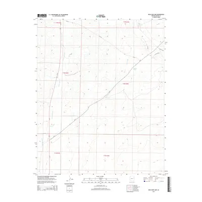
2014 Map of Wild Cow Lake
USGS Topo · Published 2014About this map
Wild Cow Lake is a focal point of this arid high-desert landscape in Apache County, captured during a period of modern mapping that preserves the area's intricate drainage and road networks. The terrain is defined by broad ephemeral waterways, notably the winding courses of Hardscrabble Wash and Brown Wash, which carve through the topographical contours. The map illustrates the connectivity of this rural region, where state and federal routes like Az-61 and Us-191 intersect with localized Bureau of Indian Affairs routes such as Bia-2025. This survey serves as a vital record of the infrastructure and hydrography within the Fort Defiance Agency region, documenting the relationship between primary transit corridors and the smaller secondary roads like Barth Lake Rd that provide access to the area's isolated landmarks.
Find a feature on this map
16 named features on this map. Tap any name to fly to it.
Don’t see what you’re looking for? This feature index may not catch every label — zoom into the map to look around manually.
Map Details
Editions of this 2014 Wild Cow Lake Map
This is the sole edition of this map. No revisions or reprints were ever made.
Other maps of this area

1886 · St Johns
USGS Topo · 1:250,000

1886 · Fort Defiance
USGS Topo · 1:250,000

1892 · Fort Defiance
USGS Topo · 1:250,000

1892 · St Johns
USGS Topo · 1:250,000

1954 · Saint Johns
USGS Topo · 1:250,000

1954 · Gallup
USGS Topo · 1:250,000

1957 · Saint Johns
USGS Topo · 1:250,000

1958 · Gallup
USGS Topo · 1:250,000

1958 · Saint Johns
USGS Topo · 1:250,000

1959 · Gallup
USGS Topo · 1:250,000