
1969 Map of Wild Horse Pass SE
USGS Topo · Published 1973About this map
South Sunday Creek and Lone Tree Creek define the drainage patterns of this Rosebud County landscape as it appeared in the late 1960s. The terrain is characterized by dissected uplands and seasonal watercourses, showing the intricate contouring of the Rosebud breaks. A notable point of human activity is marked simply as a Well near Louie and Scottie Creek, indicating the vital importance of water access for ranching and livestock in this semi-arid region. The map also records Coal Creek in the southeastern corner, reflecting the geological underpinnings of a region where surface water is scarce. Large sections of the survey are defined by township boundaries, specifically T. 10 N. and T. 9 N., illustrating the systematic Bureau of Land Management grid that governs the western range.
Find a feature on this map
6 named features on this map. Tap any name to fly to it.
Don’t see what you’re looking for? This feature index may not catch every label — zoom into the map to look around manually.
Map Details
Editions of this 1969 Wild Horse Pass SE Map
This is the sole edition of this map. No revisions or reprints were ever made.
Other maps of this area

1954 · Forsyth
USGS Topo · 1:250,000

1957 · Forsyth
USGS Topo · 1:250,000

1958 · Forsyth
USGS Topo · 1:250,000

1968 · Box Canyon Coulee
USGS Topo · 1:24,000

1968 · Sand Buttes
USGS Topo · 1:24,000

1968 · Hathaway NW
USGS Topo · 1:24,000

1969 · Van Burton Creek
USGS Topo · 1:24,000

1969 · Wild Horse Pass
USGS Topo · 1:24,000
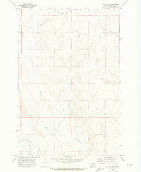
1969 · Alkali Creek
USGS Topo · 1:24,000
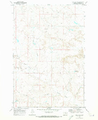
1969 · Hobo Coulee
USGS Topo · 1:24,000