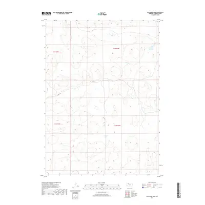
2017 Map of Wild Mare Lake
USGS Topo · Published 2017About this map
Wild Mare Lake and the surrounding Nebraska Sandhills dominate this 2017 topographic study of Cherry County. The landscape is defined by its unique hydrography, where small bodies of water like Heath Lake are interspersed among the stabilized sand dunes. This portion of the Nebraska interior is remarkably open, showing only the most vital rural infrastructure such as Shadbolt Rd crossing the central terrain. Evidence of the intermittent drainage network is visible along Medicine Cr, which meanders through the northeast. The map provides a clear look at the Public Land Survey System organization of the early 21st century, delineating townships including t32n r36w and t31n r37w. This specialized environment illustrates the sparse settlement patterns and unique geological formations characteristic of this section of the Great Plains.
Find a feature on this map
8 named features on this map. Tap any name to fly to it.
Don’t see what you’re looking for? This feature index may not catch every label — zoom into the map to look around manually.
Map Details
Editions of this 2017 Wild Mare Lake Map
This is the sole edition of this map. No revisions or reprints were ever made.
Other maps of this area

1950 · Doughboy
USGS Topo · 1:62,500

1951 · Merriman
USGS Topo · 1:62,500

1951 · Merriman 4
USGS Topo · 1:62,500

1952 · Eli
USGS Topo · 1:62,500

1952 · Doughboy
USGS Topo · 1:62,500

1957 · Valentine
USGS Topo · 1:250,000

1959 · Valentine
USGS Topo · 1:250,000

1985 · Cody
USGS Topo · 1:100,000
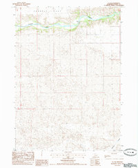
1985 · Eli SW
USGS Topo · 1:24,000
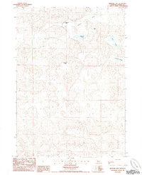
1985 · Medicine Lake
USGS Topo · 1:24,000