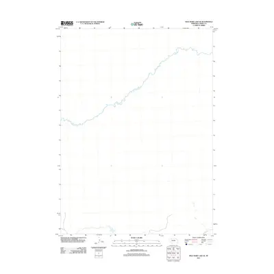
2011 Map of Wild Mare Lake SE
USGS Topo · Published 2011About this map
The Snake River meanders across this northern Nebraska landscape, carving a distinct path through the heart of Cherry County. This 2011 survey illustrates the sparse, open character of the region where the watercourse remains the primary defining feature of the terrain. The map's grid captures a significant stretch of the river's winding northern course, reflecting the remote nature of the Sandhills area at the start of the twenty-first century. For researchers and geographers, the sheet provides precise topographic data of this particular drainage basin, highlighting the elevation changes along the riverbanks and the surrounding plains.
Find a feature on this map
1 named feature on this map. Tap any name to fly to it.
Don’t see what you’re looking for? This feature index may not catch every label — zoom into the map to look around manually.
Map Details
Editions of this 2011 Wild Mare Lake SE Map
This is the sole edition of this map. No revisions or reprints were ever made.
Other maps of this area

1949 · Steverson Lake
USGS Topo · 1:62,500

1950 · Doughboy
USGS Topo · 1:62,500

1950 · Wolf Lake
USGS Topo · 1:62,500

1951 · Steverson Lake
USGS Topo · 1:62,500

1951 · Wolf Lake
USGS Topo · 1:62,500

1951 · Merriman 4
USGS Topo · 1:62,500

1952 · Doughboy
USGS Topo · 1:62,500

1957 · Valentine
USGS Topo · 1:250,000

1959 · Valentine
USGS Topo · 1:250,000

1985 · Mullen
USGS Topo · 1:100,000