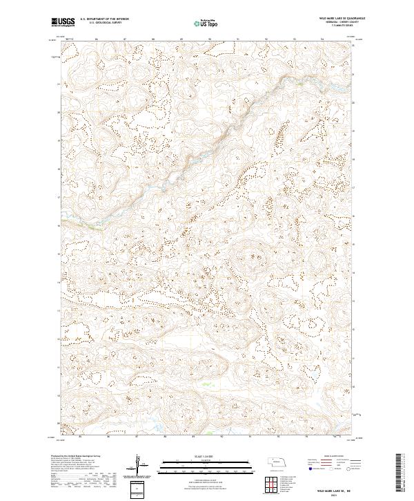
2021 Map of Wild Mare Lake SE
USGS Topo · Published 2021About this map
Snake River winds across this section of the Nebraska Sandhills, carving a deep drainage through the undulating terrain of Cherry County. The landscape is defined by its vast open spaces and minimal human development, characterized primarily by the natural hydrology and the rectilinear grid of the Public Land Survey System. In the far southeastern corner, the headwaters of Gordon Cr emerge, tracing a separate path through the dunes. This map serves as a primary record of the modern physical geography of the region, illustrating the stark isolation and the critical importance of these watercourses to the surrounding environment. It highlights the intersection of several townships, including t30n r36w and t29n r36w, providing a clear view of the territorial organization in this remote part of the state.
Find a feature on this map
8 named features on this map. Tap any name to fly to it.
Don’t see what you’re looking for? This feature index may not catch every label — zoom into the map to look around manually.
Map Details
Editions of this 2021 Wild Mare Lake SE Map
This is the sole edition of this map. No revisions or reprints were ever made.
Other maps of this area

1949 · Steverson Lake
USGS Topo · 1:62,500

1950 · Doughboy
USGS Topo · 1:62,500

1950 · Wolf Lake
USGS Topo · 1:62,500

1951 · Steverson Lake
USGS Topo · 1:62,500

1951 · Wolf Lake
USGS Topo · 1:62,500

1951 · Merriman 4
USGS Topo · 1:62,500

1952 · Doughboy
USGS Topo · 1:62,500

1957 · Valentine
USGS Topo · 1:250,000

1959 · Valentine
USGS Topo · 1:250,000

1985 · Mullen
USGS Topo · 1:100,000